Węgierska Górka, Mountain village in Żywiec County, Poland.
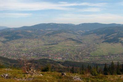
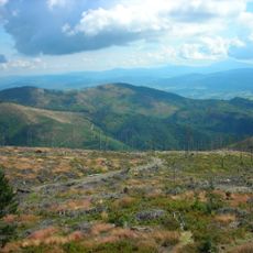
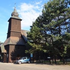
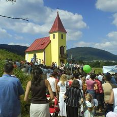
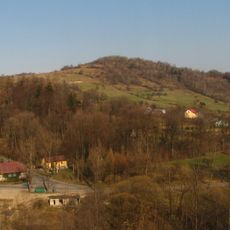
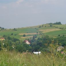
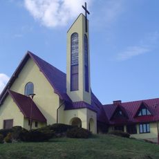
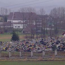
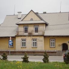
Węgierska Górka is a mountain village nestled in the Żywiec Beskids along the Soła River, surrounded by rolling hills at around 412 meters elevation. The settlement displays a mix of rural structures and remnants of its industrial past.
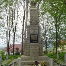
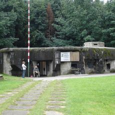
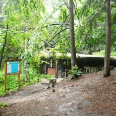
The settlement gained military importance during World War II when Polish forces built defensive bunkers to resist German invasion in 1939. These fortifications were part of the broader struggle in the region during the opening months of the conflict.
The ironworks established in 1838 drew workers to this mountain area and shaped how people lived and worked together for generations. This industrial heritage remains visible in the local architecture and daily rhythms of the community.
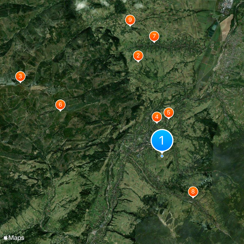
The village is accessible via National Road 69 or by train on the Katowice-Skalité railway line with regular service to major cities. Visitors should prepare for hilly terrain and plan walks during daylight hours.
Four concrete bunkers from World War II still stand, each with its own name like Wędrowiec and Wąwóz, marking the spot where a three-day battle took place. These structures offer tangible reminders of the armed resistance that occurred here.
Location: Gmina Węgierska Górka
GPS coordinates: 49.60000,19.13333
Latest update: December 20, 2025 15:17
Golgotha of the Beskids
4.5 km
Magurka Radziechowska
7.3 km
Transfiguration of Jesus Church in Węgierska Górka
1.5 km
Saint Catherine of Alexandria church in Cięcina
1.8 km
Glinne
5.1 km
Saint Martin church in Radziechowy
5.2 km
Our Lady of Częstochowa church in Żabnica
2.4 km
Chapel U Dziadka
6.2 kmGrapa
1.3 km
Kaplica Matki Boskiej Częstochowskiej w Cięcinie
2.8 km
Mała Barania
5.1 km
Kopa Radziechowska
5.9 kmCzerwieńska Grapa
4.3 km
Kaplica Matki Boskiej Częstochowskiej w Przybędzy
3.5 km
Choleric cemetery in Radziechowy
5 kmRoman Catholic cemetery in Cięcina
1.8 km
Wędrowiec bunker in Węgierska Górka
933 m
Magurka
5.9 km
Roman Catholic cemetery in Radziechowy
5.5 km
Waligóra bunker in Cisiec
2.2 kmStajnia nr 584, poł. XIX w.
5.8 kmWikarówka w Cięcinie
1.7 km
Rectory in Cięcina
1.8 kmAmfiteatr
1.7 kmSkansen Sopki Stopki
656 mScenic viewpoint
2 kmScenic viewpoint
3.9 kmKościół pw. Matki Bożej Częstochowskiej
2.4 kmVisited this place? Tap the stars to rate it and share your experience / photos with the community! Try now! You can cancel it anytime.
Discover hidden gems everywhere you go!
From secret cafés to breathtaking viewpoints, skip the crowded tourist spots and find places that match your style. Our app makes it easy with voice search, smart filtering, route optimization, and insider tips from travelers worldwide. Download now for the complete mobile experience.
A unique approach to discovering new places❞
— Le Figaro
All the places worth exploring❞
— France Info
A tailor-made excursion in just a few clicks❞
— 20 Minutes