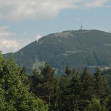
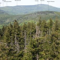
Magurka Radziechowska, Mountain summit in Silesian Beskids, Poland
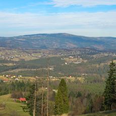
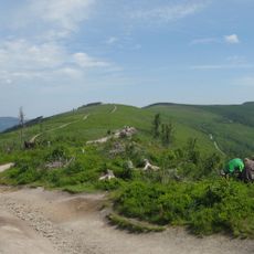
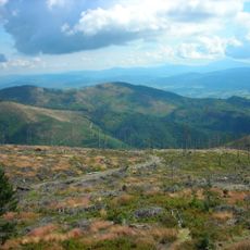
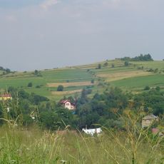
Magurka Radziechowska rises to 1097 meters above sea level, with slopes extending over the valleys of three streams: Lesnianka, Twardorzeczka, and Bystra. The peak features descending ridges and a landscape shaped by water drainage patterns across the mountainside.
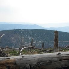
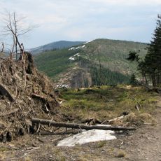
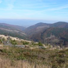
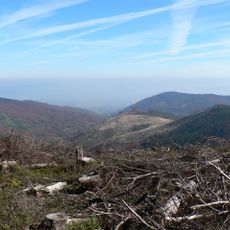
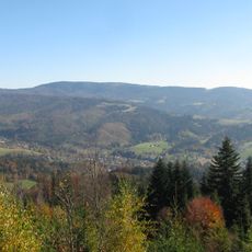
The mountain slopes were covered with solid spruce forests until the 1990s, when extensive logging operations began. These deforestation efforts continued and resulted in substantial woodland loss by 2015.
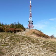
The Main Beskid Trail, named after Kazimierz Sosnowski, crosses the peak and connects hiking routes throughout the Silesian Beskids region. This path serves as a focal point for hikers exploring the mountain landscape.
Hikers can access the summit via several routes, including a 14.2-kilometer trail starting from Lipowa Ostre with free parking available at trailheads. Most paths are accessible to those in reasonable fitness, though sturdy footwear helps on steeper sections.
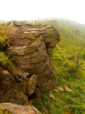
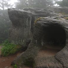
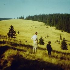
The southern slopes feature notable rock formations that draw the attention of climbers and geologists. The eastern ridge contains Hala Radziechowska, an extensive series of mountain meadows with their own distinct character.
The community of curious travelers
AroundUs brings together thousands of curated places, local tips, and hidden gems, enriched daily by 60,000 contributors worldwide.