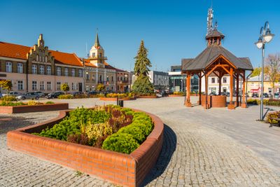
Lubaczów, Administrative center in Subcarpathian Voivodeship, Poland.
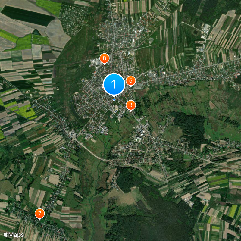
Lubaczów is a town in southeastern Poland that serves as the administrative center for Lubaczów County. The town functions as a local hub where government offices, schools, hospitals, and shops serve the surrounding rural areas near the Ukrainian border.
The settlement first appeared in written records in 1214 during territorial negotiations between local rulers. The area developed gradually over centuries as a farming region before becoming an administrative center in modern times.
The town maintains active partnerships with six European cities, including Érd in Hungary and Tostedt in Germany, fostering regular cultural exchanges.
The town has basic services including government offices, medical clinics, and shops for everyday needs distributed throughout the center. Getting around on foot is easy, and local buses connect the town to nearby villages and larger cities.
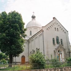
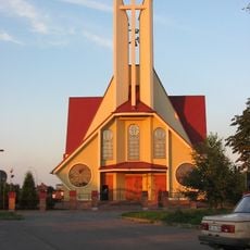
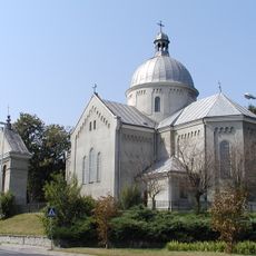
After World War II, the town became home to a significant Catholic church leadership that relocated there when borders were redrawn. This institution brought new meaning and purpose to the community during the difficult post-war years.
Location: Lubaczów County
Inception: 1214
Website: http://lubaczow.pl
GPS coordinates: 50.15560,23.12299
Latest update: December 6, 2025 22:06
Konkatedra bł. Jakuba Strzemię w Lubaczowie
138 m
Muzeum Kresów w Lubaczowie
453 m
Saint Nicholas church in Lubaczów
82 m
Saint Onuphrius church in Oleszyce
6.8 km
Jewish cemetery in Lubaczów
483 m
Exaltation of the Holy Cross church in Dachnów
5.6 km
Saint Lawrence church in Szczutków
5.7 km
Town hall in Lubaczów
237 m
Immaculate Conception church in Borchów
5.4 km
Jewish cemetery in Oleszyce
6.7 km
Opaka, Subcarpathian Voivodeship
3.2 km
Church of the Nativity of the Virgin Mary in Oleszyce
6.8 km
Oleszyce town hall
6.7 km
Charles Borromeo church in Lubaczów
831 m
Saint Stanislaus church in Lubaczów
99 m
Zespół cerkwi gr.-kat. św. Dymitra, ob. kościoła rzym.-kat. św. Waw…
5.4 km
Water tower in Lubaczów
1.2 km
Cmentarz greko-kat., ob. komunalny
5.8 km
Dzwonnica w Opace
3.2 km
Budynek apteki, ob. dom mieszkalny
465 m
Cmentarz w Borchowie
5.3 km
Zespół cerkwi greko-kat. św. Onufrego
6.8 km
Dzwonnica-brama w Borchowie
5.3 km
Greek Catholic church of the Nativity of the Blessed Virgin Mary in Opaka
3.2 km
Pozostałości zamku i fortyfikacji
526 m
Zespół cerkwi gr.-kat. św. Mikołaja, ob. kościół rzym.-kat.
81 m
Dzwonnica w Dachnowie
5.7 km
Spichrz, ob. muzeum
447 mReviews
Visited this place? Tap the stars to rate it and share your experience / photos with the community! Try now! You can cancel it anytime.
Discover hidden gems everywhere you go!
From secret cafés to breathtaking viewpoints, skip the crowded tourist spots and find places that match your style. Our app makes it easy with voice search, smart filtering, route optimization, and insider tips from travelers worldwide. Download now for the complete mobile experience.
A unique approach to discovering new places❞
— Le Figaro
All the places worth exploring❞
— France Info
A tailor-made excursion in just a few clicks❞
— 20 Minutes