Pozezdrze, Rural settlement in Warmian-Masurian Voivodeship, Poland.
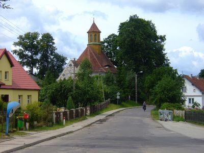
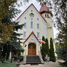
Pozezdrze is a village in the Warmian-Masurian Voivodeship of northern Poland and serves as the administrative seat of the municipality that shares its name. It sits among a chain of lakes and forested land that run through the Masurian Lake District.
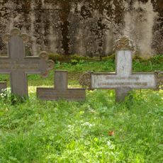
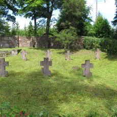
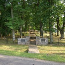
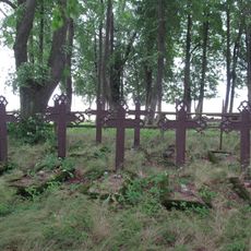
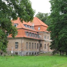
The area around Pozezdrze was part of Prussia for centuries and carried strong German settlement before being transferred to Poland after World War II. After 1945, the local population was replaced and the village was resettled mainly by Polish families coming from other parts of the country.
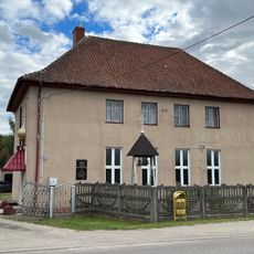
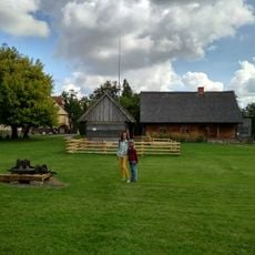
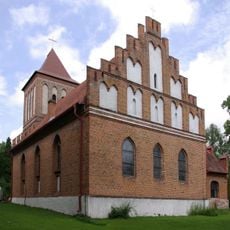
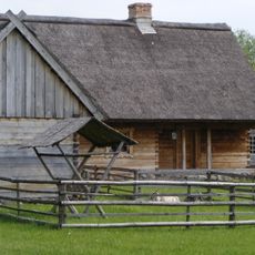
The name Pozezdrze comes from old Slavic roots and sits in a part of Masuria where Polish traditions and memories of German settlement still coexist. Walking through the village, you can spot small wooden houses, kitchen gardens, and occasional boats resting near the water.
The village is most easily reached by car, as public transport connections in this rural area are limited. Summer is the most practical time to come, since the surrounding lakes and trails are fully open and the roads are clear.
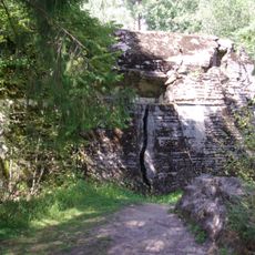
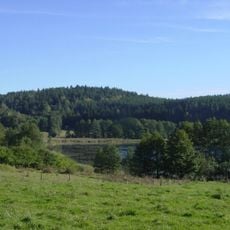
The municipality around Pozezdrze contains several lakes connected by waterways that canoeists use for multi-day routes. These water routes pass through forested areas that are nearly impossible to reach by road, making the lakes a natural gateway to otherwise hidden parts of the landscape.
The community of curious travelers
AroundUs brings together thousands of curated places, local tips, and hidden gems, enriched daily by 60,000 contributors worldwide.