Nida, River in Little Poland Uplands, Poland
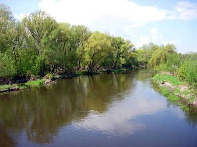
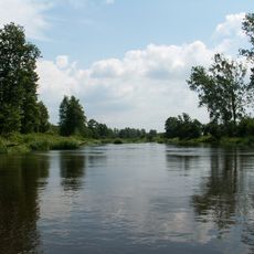
The Nida is a river flowing through the Little Poland Uplands in southern Poland, traveling about 150 kilometers before joining the Vistula near Nowy Korczyn. It moves slowly through open countryside with gentle banks, typically ranging from less than a foot to about 8 feet deep (0.4 to 2.6 meters).
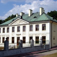
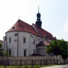
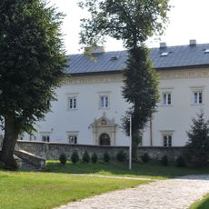
In the late Middle Ages, the Nida region marked boundaries between major Polish administrative divisions, dividing the lands between Kraków and Sandomierz territories. The river valley became a crossroads where trade routes converged and local power structures developed around river-based industries.
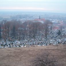
The Nida Valley shaped the settlement pattern of southern Poland, with communities along its banks developing around milling and farming traditions. Today, visitors can see how local life still follows the river's natural rhythm, with towns and villages oriented toward its flow.
The river is well-suited for boating and canoeing, especially during warmer months when water levels remain steady. Multiple towns and villages along the banks offer natural stopping points, and the gentle current makes it easy to navigate for people of various experience levels.
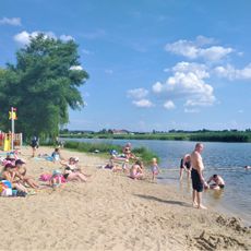
The river ranks among Poland's warmest waterways, with shallow sections reaching around 77 degrees Fahrenheit (27 degrees Celsius) in summer sun. This warmth draws swimmers and water enthusiasts who enjoy the unusually comfortable conditions compared to other Polish rivers.
The community of curious travelers
AroundUs brings together thousands of curated places, local tips, and hidden gems, enriched daily by 60,000 contributors worldwide.