Jędrzejów County, Administrative district in Świętokrzyskie Voivodeship, Poland.
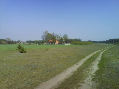
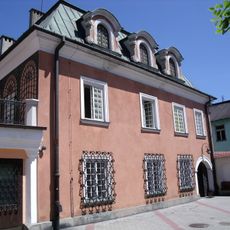
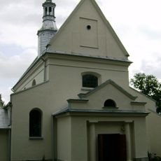
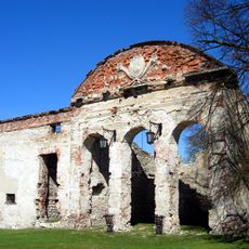
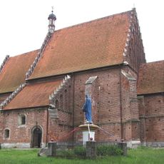
Jędrzejów County is an administrative district in Świętokrzyskie Voivodeship in south-central Poland. The territory contains several smaller towns and rural settlements connected by regional road networks.
This administrative area took its current form during Poland's local government reforms in 1999. These restructuring changes created the modern county structures across the region.
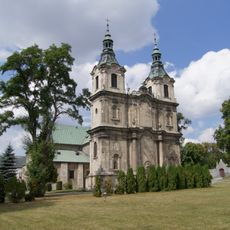
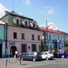
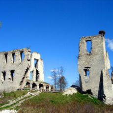
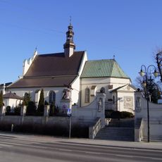
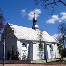
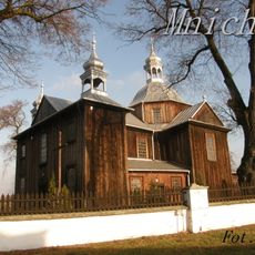
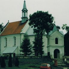
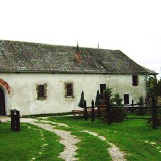
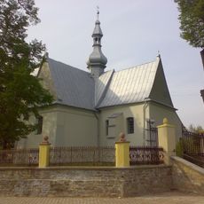
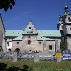
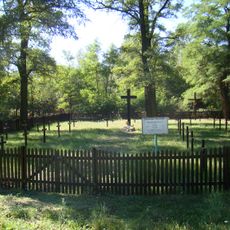
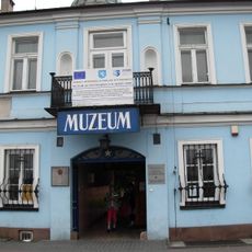
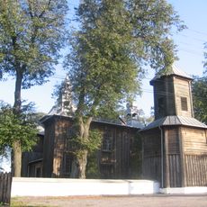
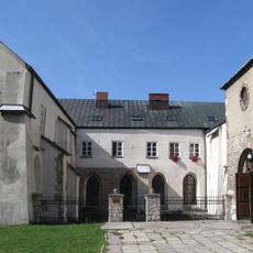
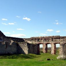
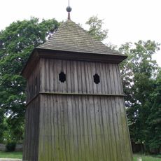
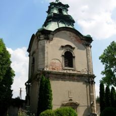
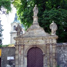
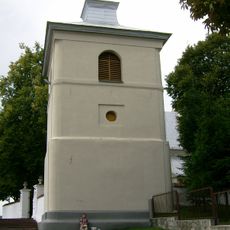
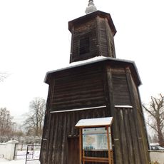
The territory contains nine distinct municipalities, each maintaining their own local traditions through seasonal fairs, religious celebrations, and craft practices. These communities shape daily life with events that visitors can experience throughout the year.
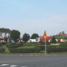
The area is accessible through regional road connections that link to surrounding larger towns. Visitors should rely on local road maps, as public transportation options are limited.
The district operates as a sixth administrative tier between the regional voivodeship and individual municipalities, differing in function from similar regional divisions in other European countries. This middle position allows for local coordination while maintaining direct connections to village and community bodies.
Location: Świętokrzyskie Voivodeship
Capital city: Jędrzejów
Shares border with: Włoszczowa County, Kielce County, Pińczów County, Miechów County, Zawiercie County
Website: http://jedrzejow.pl
GPS coordinates: 50.63333,20.30000
Latest update: December 10, 2025 16:02
Jędrzejów Abbey
557 m
Przypkowscy Clock Museum
685 m
Mokrsko Górne Castle
11.8 km
Holy Trinity church in Jędrzejów
1 km
Kościół św. Mikołaja w Imielnie
11.6 km
Jewish cemetery in Jędrzejów
1.3 km
Mokrsko Dolne Church
11 km
Kościół św. Prokopa, lata 1531-1542
10.3 km
Church of Saint Stephen in Mnichów
8.6 km
Saints Peter and Paul church in Piotrkowice
12.9 km
Brama wjazdowa (wschodni budynek bramny), lata 1560-1570
13 km
Church of Saint Martin in Cierno-Żabieniec
8.4 km
Cistersian Monastery in Jędrzejów
2.5 km
World War I cemetery in Motkowice
12 km
House at 8 Rynek, Jędrzejów
704 m
Zespół kościoła św. Szczepana, lata 1765-1770
8.6 km
Cistercian Abbey in Jędrzejów
2.5 km
House at 7 Rynek, Jędrzejów
700 m
Zespół kościoła św. Mikołaja w Imielnie
11.5 km
Ruiny pałacu w Sobkowie
13.1 km
Saint Procopius church in Krzcięcice
10.3 km
Zespół pałacowy z fortalicją, poł. XVI
13 km
Dzwonnica w Krzcięcicach
10.3 km
Układ urbanistyczny śródmieścia
753 m
Dzwonnica, poł. XVIII w.
2.5 km
Brama klasztoru
2.5 km
Dzwonnica w Imielnie
11.6 km
Dzwonnica, lata 1765-1770
8.6 kmVisited this place? Tap the stars to rate it and share your experience / photos with the community! Try now! You can cancel it anytime.
Discover hidden gems everywhere you go!
From secret cafés to breathtaking viewpoints, skip the crowded tourist spots and find places that match your style. Our app makes it easy with voice search, smart filtering, route optimization, and insider tips from travelers worldwide. Download now for the complete mobile experience.
A unique approach to discovering new places❞
— Le Figaro
All the places worth exploring❞
— France Info
A tailor-made excursion in just a few clicks❞
— 20 Minutes