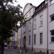
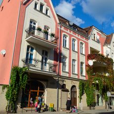
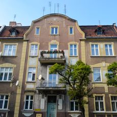
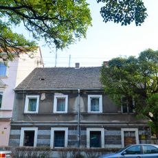
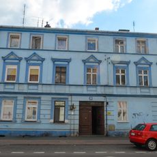
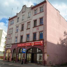
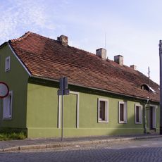
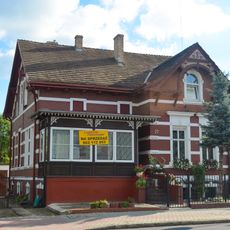
Gmina Otyń, urban-rural gmina of Poland
Location: Nowa Sól County
Shares border with: Gmina Bojadła, Gmina Kożuchów, Gmina Nowa Sól, Nowa Sól, Gmina Zabór, Gmina Zielona Góra
Website: http://otyn.pl
GPS coordinates: 51.84722,15.70972
Latest update: March 4, 2025 08:31
Bridge in Stany
4.8 km
Otyń Monastery
200 m
Saint Anthony of Padua church in Nowa Sól
4.7 km
Rezerwat przyrody Bukowa Góra (województwo lubuskie)
2.9 km
Exaltation of the Holy Cross church in Otyń
129 m
Church of St. Michael in Nowa Sól
4.9 km
Church of St. Barbara in Nowa Sól
4.7 km
Saint James church in Niedoradz
4 km
7 Bohaterów Getta Street in Nowa Sól
4.6 km
5 Wyspiańskiego Street in Nowa Sól
4.5 km
9 Wyspiańskiego Street in Nowa Sól
4.5 km
19 Witosa Street in Nowa Sól
4.8 km
10 Arciszewskiego Street in Nowa Sól
4.8 km
7 Szeroka Street in Nowa Sól
4.9 km
1 Solny Square in Nowa Sól
4.8 km
32 Witosa Street in Nowa Sól
4.8 km
4 Wojska Polskiego Street in Nowa Sól
4.9 km
8 Wojska Polskiego Street in Nowa Sól
4.9 km
1 Szeroka Street in Nowa Sól
4.9 km
1 Wyspiańskiego Street in Nowa Sól
4.6 km
24 Piłsudskiego Street in Nowa Sól
4.5 km
2 Wojska Polskiego Street in Nowa Sól
4.9 km
11 Wyspiańskiego Street in Nowa Sól
4.5 km
12 Wyspiańskiego Street in Nowa Sól
4.5 km
28 Witosa Street in Nowa Sól
4.8 km
22 Witosa Street in Nowa Sól
4.8 km
8 Arciszewskiego Street in Nowa Sól
4.9 km
17 Wojska Polskiego Street in Nowa Sól
4.9 kmReviews
Visited this place? Tap the stars to rate it and share your experience / photos with the community! Try now! You can cancel it anytime.
Discover hidden gems everywhere you go!
From secret cafés to breathtaking viewpoints, skip the crowded tourist spots and find places that match your style. Our app makes it easy with voice search, smart filtering, route optimization, and insider tips from travelers worldwide. Download now for the complete mobile experience.
A unique approach to discovering new places❞
— Le Figaro
All the places worth exploring❞
— France Info
A tailor-made excursion in just a few clicks❞
— 20 Minutes