Gmina Karsin, Administrative district in Kościerzyna County, Poland.
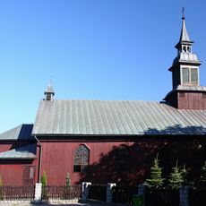
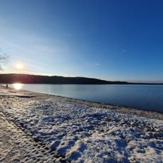
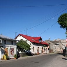
Gmina Karsin is a rural administrative district in Kościerzyna County within the Pomeranian Voivodeship. It comprises wooded areas, lakes, and farmland spread across several villages, with Karsin serving as the administrative center.
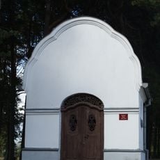
The territory developed during the Teutonic Knights period, with initial settlements appearing in the 14th century. Karsin itself became a royal village during this era and has functioned as an administrative hub ever since.
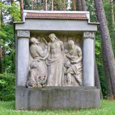
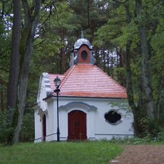
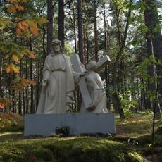
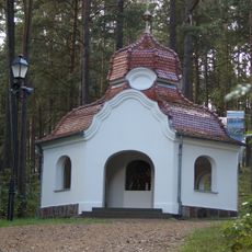
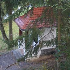
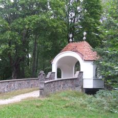
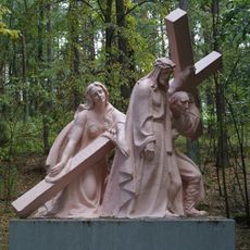
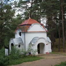
This area forms part of the larger Kashubian cultural region, where local residents maintain connections to regional traditions and identity. People here live in close contact with their landscape and preserve ways of life rooted in generations of family presence.
The area is best explored by car, as villages are spread out across the rural landscape with roads connecting them. Travel times between settlements can be long, so plan accordingly when visiting different parts.
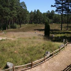
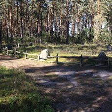
The district contains portions of Wdydze Landscape Park, a protected area with distinct ecological zones. This park gives visitors a window into the natural diversity that defines the region.
Location: Kościerzyna County
Shares border with: Gmina Kościerzyna, Gmina Stara Kiszewa, Gmina Dziemiany, Gmina Czersk, Gmina Brusy
Website: http://karsin.pl
GPS coordinates: 53.90500,17.92833
Latest update: December 11, 2025 11:04
Kręgi Kamienne Nature Reserve
4.4 km
Our Lady of the Rosary church in Karsin
477 m
Kąpielisko gminne
5 km
Kręgi Kamienne
6.1 km
Wiele cemetery
4.8 km
Saint Nicholas church in Wiele
4.9 km
Kalwaria Wielewska
5.2 km
Kaplica Płaczących Niewiast. Stacja VIII Drogi Krzyżowej w Wielu
5.4 km
Kapliczka - Stacja III Drogi Krzyżowej w Wielu
5.2 km
Kapliczka - Stacja II Drogi Krzyżowej w Wielu
5.2 km
Kaplica św. Weroniki. Stacja VI Drogi Krzyżowej w Wielu
5.3 km
Kaplica Dom Kajfasza w Wielu
5 km
Kaplica Biczowania w Wielu
5.1 km
Kaplica Pałac Piłata. Stacja I Drogi Krzyżowej w Wielu
5.1 km
Kaplica Dom Annasza w Wielu
5 km
Chapel on Cedron
5.1 km
Kapliczka - Stacja IV Drogi Krzyżowej w Wielu
5.2 km
Kapliczka - Stacja V Drogi Krzyżowej w Wielu
5.3 km
Kaplica Święte Schody w Wielu
5 km
Kaplica II Upadku Pana Jezusa. Stacja VII Drogi Krzyżowej w Wielu
5.4 km
Kaplica Serca NMP Królowej Pokoju w Wielu
4.9 km
Kaplica III Upadku Pana Jezusa. Stacja IX Drogi Krzyżowej w Wielu
5.4 km
Kapliczka - Stacja X Drogi Krzyżowej w Wielu
5.4 km
Kapliczka - Stacja XI Drogi Krzyżowej w Wielu
5.3 km
Kaplica Ukrzyżowania. Stacja XII Drogi Krzyżowej w Wielu
5.3 km
Ambona
5.1 km
Kaplica Serca Pana Jezusa w Wielu
4.9 km
Zespół ruralistyczny wsi
4.7 kmVisited this place? Tap the stars to rate it and share your experience / photos with the community! Try now! You can cancel it anytime.
Discover hidden gems everywhere you go!
From secret cafés to breathtaking viewpoints, skip the crowded tourist spots and find places that match your style. Our app makes it easy with voice search, smart filtering, route optimization, and insider tips from travelers worldwide. Download now for the complete mobile experience.
A unique approach to discovering new places❞
— Le Figaro
All the places worth exploring❞
— France Info
A tailor-made excursion in just a few clicks❞
— 20 Minutes