Gmina Lubień, Rural administrative division in Myślenice County, Poland
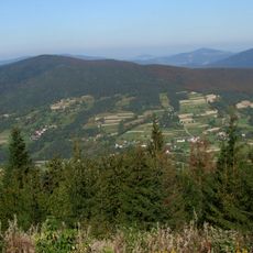
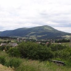
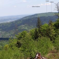
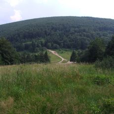
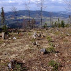
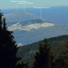
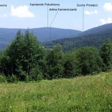
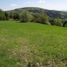
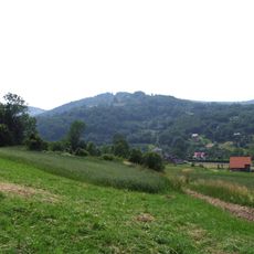
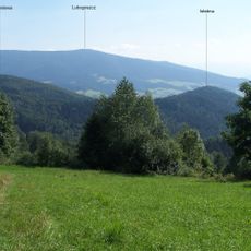
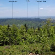
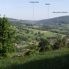
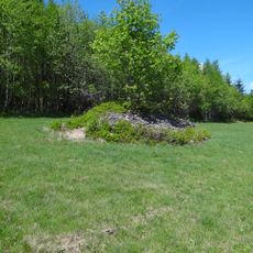
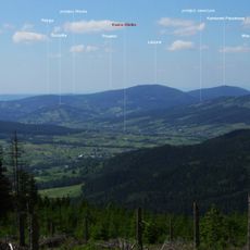
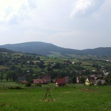
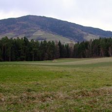
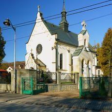
Gmina Lubień is a rural municipality in Myślenice County that spans gentle rolling terrain and encompasses several small villages including Krzeczów, Lubień, Skomielna Biała, and Tenczyn. The landscape consists largely of fields, meadows, and wooded areas dotted with farmsteads and village centers.
The current structure of Gmina Lubień stems from Poland's administrative reforms that took place in the mid-1990s. This reorganization established the present-day boundaries and local governance framework that continues to shape how the region functions.
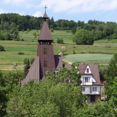
The area reflects a strong connection to farming and traditional village life, where local families maintain practices that have shaped the landscape for generations. This heritage is visible in how people organize their properties and gather in community spaces throughout the year.
The area is accessible by regional roads, with the larger city of Kraków to the north and Myślenice serving as the nearest town with shops and services. Visitors are best served with a personal vehicle, as public transit options are limited and driving allows flexibility to explore the scattered villages at your own pace.
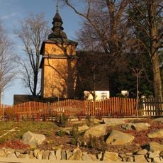
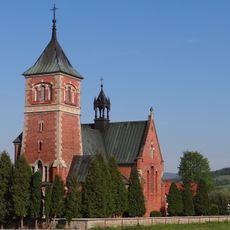
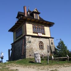
The region is home to several historic estates and their original park grounds, revealing how wealthy families once lived in the countryside. These properties offer a glimpse into the cultural landscape of past centuries, even though many are not open to regular visitor access.
The community of curious travelers
AroundUs brings together thousands of curated places, local tips, and hidden gems, enriched daily by 60,000 contributors worldwide.