Gmina Puszcza Mariańska, Rural administrative district in Żyrardów County, Poland.
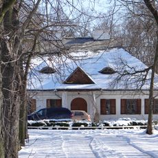
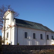
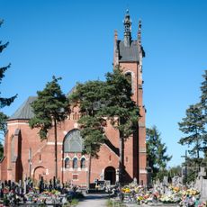
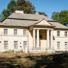
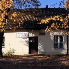
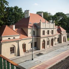
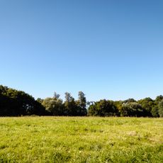
Gmina Puszcza Mariańska is a rural administrative territory in the Masovian Voivodeship of east-central Poland. The jurisdiction comprises multiple villages and settlements spread across countryside marked by woodlands and agricultural areas.
The area was established as an administrative division to support localized governance of rural regions. Its development followed the pattern of municipal reforms in modern Poland.
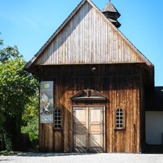
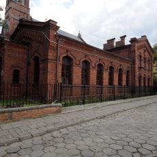
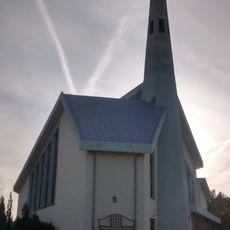
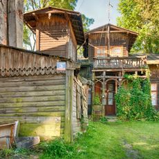
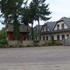
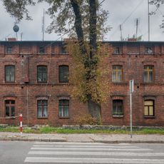
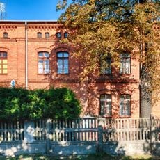
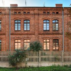
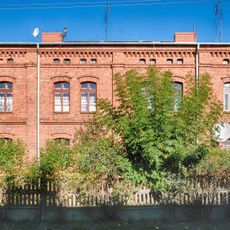
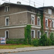
The administrative district encompasses multiple settlements including Aleksandria, Bartniki, Bednary, and Biernik, each contributing to the local community structure.
Visitors can explore the villages and natural areas independently, as the territory is accessible by rural roads and local pathways. The best time for exploration is during warmer months when roads are in good condition and the landscape is fully accessible.
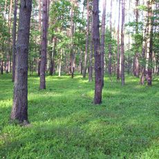
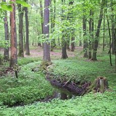
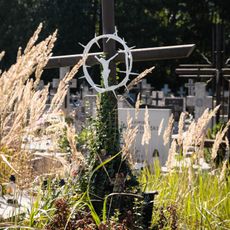
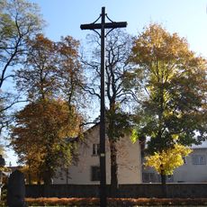
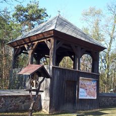
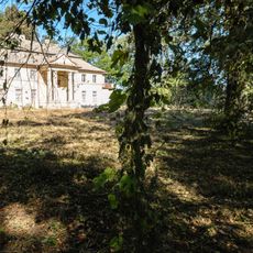
A section of the Bolimów Landscape Park extends into this administrative area, creating a natural connection between settled villages and protected forest landscapes. This blend makes the region ecologically significant for the broader Masovian territory.
The community of curious travelers
AroundUs brings together thousands of curated places, local tips, and hidden gems, enriched daily by 60,000 contributors worldwide.
Suntago Park of Poland
7.6 km
Bolimów Landscape Park
6.8 km
Evangelical church in Żyrardów
9.7 km
Saint Anthony of Padua church in Bartniki
5.2 km
Saint Michael Archangel church in Puszcza Mariańska
536 m
Kaplica ewangelicko-augsburska w Żyrardowie
9.7 km
Saint Joseph church in Skierniewice
9.1 km
Nature reserve Puszcza Mariańska
2.3 km
Cmentarz przykościelny w Bartnikach
5.1 km
Courtyard of the Saint Michael Archangel church in Puszcza Mariańska
528 m
11 Listopada 3
9.2 km
Dwór w Sokulu
9.2 km
Exaltation of the Holy Cross church in Jeruzal
8.1 km
Mogiła zbiorowa z II wojny światowej w Studzieńcu
2.3 km
Monastery Marian in Puszcza Mariańska
528 m
Zespół kościoła św. Antoniego
5.2 km
Klasztor, ob. plebania
514 m
Palace in Kamion
7.8 km
Dawna szkoła marianów, ob. UG
545 m
Radziwiłłów train station
4.4 km
Dzwonnica w Jeruzalu
8.1 km
Otoczenie (łąki i pastwiska) zespołu pałacowego
7.6 km
3 Żeromskiego Street in Żyrardów
9.8 km
Kanałowa 2
9.8 km
Kanałowa 3
9.7 km
Kanałowa 4
9.7 km
10 Żeromskiego Street in Żyrardów
9.8 km
Zespół pałacowy
7.8 kmDiscover hidden gems everywhere you go!
From secret cafés to breathtaking viewpoints, skip the crowded tourist spots and find places that match your style. Our app makes it easy with voice search, smart filtering, route optimization, and insider tips from travelers worldwide. Download now for the complete mobile experience.
A unique approach to discovering new places❞
— Le Figaro
All the places worth exploring❞
— France Info
A tailor-made excursion in just a few clicks❞
— 20 Minutes