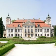
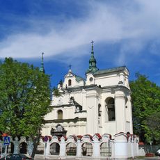
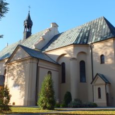
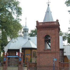
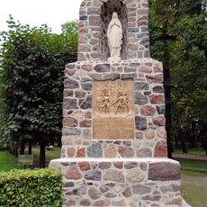
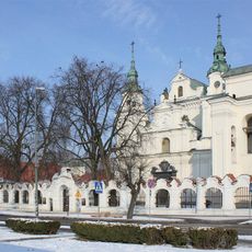
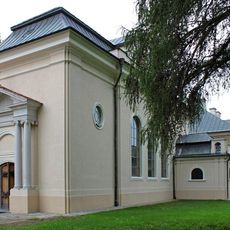
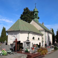
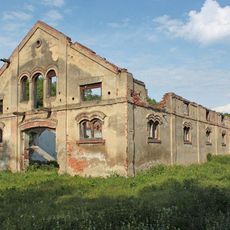
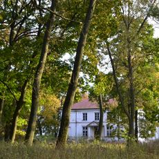
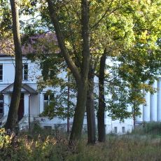
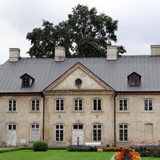
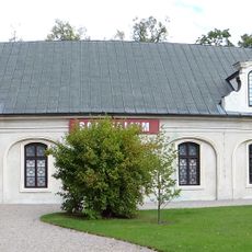
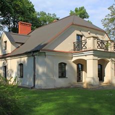
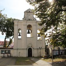
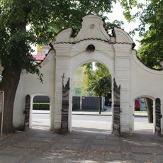
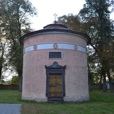
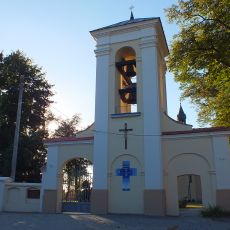
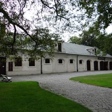
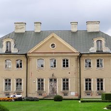
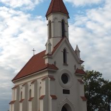
Gmina Kamionka, gmina of Poland
Location: Lubartów County
Shares border with: Gmina Firlej, Gmina Lubartów, Gmina Niemce, Gmina Garbów, Gmina Abramów, Gmina Michów
Website: http://kamionka.lubelskie.pl
GPS coordinates: 51.47167,22.46278
Latest update: March 28, 2025 13:40
Kozłówka Palace
2.3 km
Saint Anne church in Lubartów
10.1 km
Saints Peter and Paul church in Kamionka
283 m
Church of the Transfiguration in Firlej
10.1 km
Kozlowka Palace - Napoleonic soldiers monument
2.4 km
Muzeum Parafialne w Lubartowie
10.1 km
Garden and park of the Kozłowka Palace
2.4 km
Chapel of the Kozłówka Palace
2.3 km
Cemetery chapel in Lubartów
9.9 km
Cmentarz kościelny
275 m
Cemetery insurgent in Sobolew
5.6 km
Stajnia koni roboczych
2.6 km
Zespół pałacowy w Samoklęskach
4.1 km
Samoklęski Palace
4.2 km
Oficyna II
2.3 km
Carriage house in Kozłówka
2.1 km
Rządcówka (dom ogrodnika)
2.5 km
Obora
2.5 km
Saint Anne church in Lubartów - belfry
10.1 km
Ogrodzenie z bramką, poł. XVIII
10.1 km
Weyssenhoff mausoleum in Kamionka
298 m
Ogrodzenie z dzwonnicą
256 m
Former stable and carriage house in Kozłówka
2.2 km
Oficyna I
2.2 km
Zamoyski Mausoleum in Kamionka
931 m
Ogrodzenie z bramami i z łącznikami między budynkami pałacowymi
2.1 km
Plebania, Słowackiego 6 w Lubartowie
10.1 km
Reviews
Visited this place? Tap the stars to rate it and share your experience / photos with the community! Try now! You can cancel it anytime.
Discover hidden gems everywhere you go!
From secret cafés to breathtaking viewpoints, skip the crowded tourist spots and find places that match your style. Our app makes it easy with voice search, smart filtering, route optimization, and insider tips from travelers worldwide. Download now for the complete mobile experience.
A unique approach to discovering new places❞
— Le Figaro
All the places worth exploring❞
— France Info
A tailor-made excursion in just a few clicks❞
— 20 Minutes