Enable Location

We need your location to show you interesting places around you

Discover nearby places

Find interesting locations and hidden gems around you

Precise directions

Get accurate directions and distances to places

Your location is never shared with other users. It's only used when you tap the location button.

Gmina Gromnik

Log in to your account

Start exploring — it's free

Trusted by 63,239 travelers worldwide

Continue with Google
Continue with Apple
or

We will send you a code to connect

By continuing, you accept our Terms and Conditions and our Privacy Policy

Check your inbox

We've sent a pincode in your inbox. Please enter the code below.

Discussion Reviews 1 Photos
4.1k Popularity

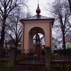
Gmina Gromnik, Administrative district in Tarnów County, Poland.

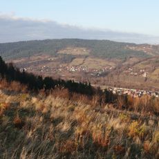
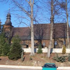
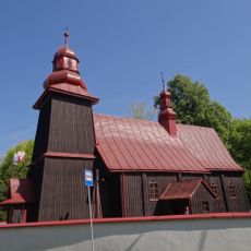
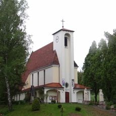
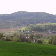
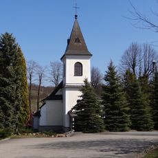
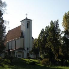
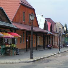
Gmina Gromnik is a rural municipality in Lesser Poland Voivodeship, spanning several villages in the Tarnow region. The administrative territory contains seven settlements spread across an agricultural landscape in southern Poland.

The municipality was established as an administrative unit within Lesser Poland Voivodeship to organize local governance and services in this rural region. Over time, it adapted to changing administrative and economic needs of the area.

The district administration organizes regular municipal meetings and community gatherings where residents participate in decision-making processes affecting local development.

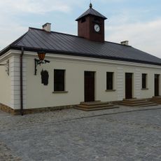
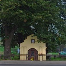
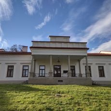
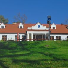
Visitors find the municipal office in Gromnik village, where administrative services and basic public facilities are available. The area is located in an agricultural zone accessible via local roads.

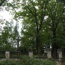
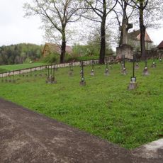
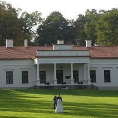
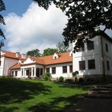
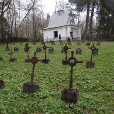
Part of the municipal territory overlaps with Ciężkowice-Rożnow Landscape Park, connecting it with significant conservation responsibilities. This combination of local administration and nature protection shapes how the area is managed.

The community of curious travelers

AroundUs brings together thousands of curated places, local tips, and hidden gems, enriched daily by 60,000 contributors worldwide.

Start exploring
Location
Capital city
Gromnik, Lesser Poland Voivodeship
Shares border with
Gmina Ciężkowice, Gmina Pleśna, Gmina Rzepiennik Strzyżewski, Gmina Tuchów, Gmina Zakliczyn
GPS coordinates
49.83333,20.95000
Latest update
December 11, 2025 11:06
Around this place
Sanctuary in Ciężkowice
Poland

Sanctuary in Ciężkowice

5.4 km
Krystyna and Włodzimierz Tomek Natural Science Museum in Ciężkowice
Poland

Krystyna and Włodzimierz Tomek Natural Science Museum in Ciężkowice

5 km
Saint Martin church in Gromnik
Poland

Saint Martin church in Gromnik

837 m
World War I Cemetery nr 135 in Zborowice
Poland

World War I Cemetery nr 135 in Zborowice

8.1 km
World War I Cemetery nr 141 in Ciężkowice
Poland

World War I Cemetery nr 141 in Ciężkowice

6.8 km
Wierch Stróża
Poland

Wierch Stróża

4.1 km
Grunwald
Poland

Grunwald

6.3 km
World War I Cemetery nr 139 in Tursko-Łosie
Poland

World War I Cemetery nr 139 in Tursko-Łosie

3.6 km
Church of the presentation of Jesus Christ at the Temple in Siemiechów
Poland

Church of the presentation of Jesus Christ at the Temple in Siemiechów

4.1 km
Saint Bartholomew church in Jastrzębia
Poland

Saint Bartholomew church in Jastrzębia

6.5 km
World War I Cemetery nr 152 in Siedliska
Poland

World War I Cemetery nr 152 in Siedliska

6.2 km
Saint Nicholas church in Brzozowa
Poland

Saint Nicholas church in Brzozowa

5.2 km
Ciężkowice town hall
Poland

Ciężkowice town hall

5.5 km
Kościół parafialny Miłosierdzia Bożego w Rzepienniku Strzyżewskim
Poland

Kościół parafialny Miłosierdzia Bożego w Rzepienniku Strzyżewskim

4.4 km
Nosalowa (Pogórze Ciężkowickie)
Poland

Nosalowa (Pogórze Ciężkowickie)

5.4 km
Kościół parafialny św. Marii Magdaleny w Zborowicach
Poland

Kościół parafialny św. Marii Magdaleny w Zborowicach

8.2 km
Divine Mercy church in Rzepiennik Strzyżewski
Poland

Divine Mercy church in Rzepiennik Strzyżewski

4.4 km
Rezerwat przyrody Skamieniałe Miasto
Poland

Rezerwat przyrody Skamieniałe Miasto

6.4 km
Zespół cmentarza wojennego nr 157 z I wojny światowej
Poland

Zespół cmentarza wojennego nr 157 z I wojny światowej

8.1 km
Dwór Ignacego Jana Paderewskiego w Kąśnej Dolnej
Poland

Dwór Ignacego Jana Paderewskiego w Kąśnej Dolnej

6.1 km
Manor house of Ignacy Paderewski in Kąśna Dolna
Poland

Manor house of Ignacy Paderewski in Kąśna Dolna

6.1 km
Zespół dworski
Poland

Zespół dworski

1 km
Zespół cmentarza wojennego nr 181 z I wojny światowej
Poland

Zespół cmentarza wojennego nr 181 z I wojny światowej

3.2 km
Dwór
Poland

Dwór

1 km
Zespół cmentarza wojennego nr 184 z I wojny światowej w Brzozowej
Poland

Zespół cmentarza wojennego nr 184 z I wojny światowej w Brzozowej

5.7 km
Rynek 15
Poland

Rynek 15

5.6 km
Kapliczka św. Floriana, Rynek 19 w Ciężkowicach
Poland

Kapliczka św. Floriana, Rynek 19 w Ciężkowicach

5.5 km
Układ urbanistyczny
Poland

Układ urbanistyczny

5.5 km
Show the full map
Reviews
Share your experience

No review yet

Discussions
Start a discussion...

No discussion yet

« Gmina Gromnik - Administrative district in Tarnów County, Poland » is provided by Around Us (aroundus.com). Images and texts are derived from Wikimedia project under a Creative Commons license. You are allowed to copy, distribute, and modify copies of this page, under the conditions set by the license, as long as this note is clearly visible.

Discover hidden gems everywhere you go!

From secret cafés to breathtaking viewpoints, skip the crowded tourist spots and find places that match your style. Our app makes it easy with voice search, smart filtering, route optimization, and insider tips from travelers worldwide. Download now for the complete mobile experience.

Around Us App Screenshot

A unique approach to discovering new places

Le Figaro

All the places worth exploring

France Info

A tailor-made excursion in just a few clicks

20 Minutes

Around Us
Travel Guide & Maps
Download

Send to your phone

QR Code
1

Open the camera app on your mobile.

2

Point at the QR code with your camera. A notification will appear.

3

Tap the notification to open the link.