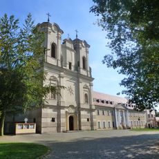
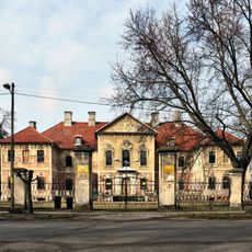
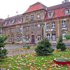
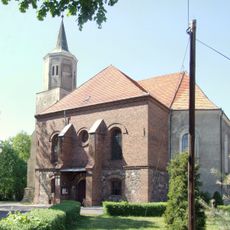
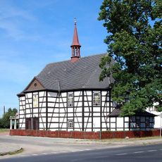
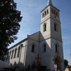
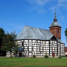
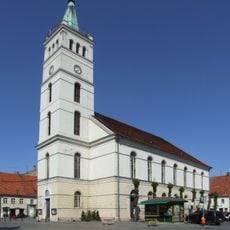
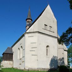
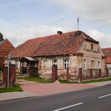
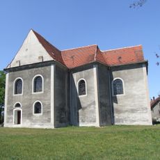
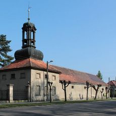
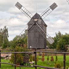
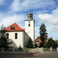
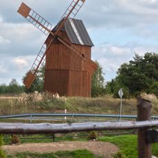
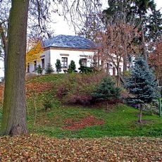
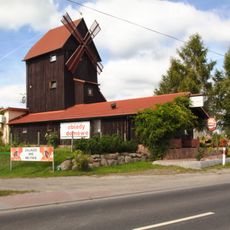
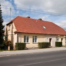
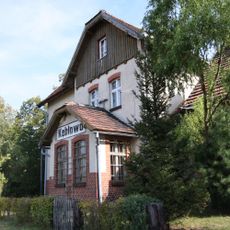
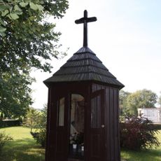
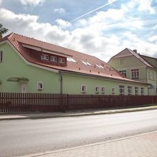
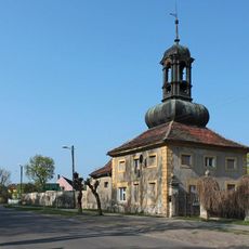
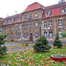
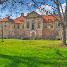
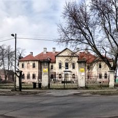
Gmina Kolsko, rural gmina of Poland
Location: Nowa Sól County
Website: http://www.kolsko.pl/
Shares border with: Gmina Bojadła, Gmina Kargowa, Gmina Nowa Sól, Gmina Wolsztyn, Gmina Sława
Website: http://kolsko.pl
GPS coordinates: 51.96667,15.96667
Latest update: March 2, 2025 22:27
Saint James church in Obra
12.8 km
Palace in Bojadła
10.8 km
Sława Palace
12.2 km
Saint Michael Archangel church in Sława
12.2 km
Kościół ewangelicki, ob. rzym.-kat. Serca Jezusowego
11 km
Kirche der Barmherzigkeit Gottes
12.3 km
Saint Bartholomew church in Kębłowo
12.9 km
Kościół św. Anny w Konotopie
5.7 km
Saint Thérèse of Lisieux church in Bojadła
10.6 km
Saint John the Baptist church in Kolsko
755 m
Divine Mercy Church in Sława
12.2 km
Saint Catherine church in Lubięcin
10.9 km
102 house in Lubięcin
10.2 km
Saint Anne church in Konotop
5.7 km
Kordegarda II
10.7 km
Wiatrak koźlak
9.6 km
Saint John the Baptist church in Kolsko
698 m
Wiatrak koźlak
9.6 km
Palace in Tarnów Jezierny
11.7 km
Wiatrak koźlak
9.7 km
85 house in Lubięcin
10.9 km
Dworzec PKP
12.5 km
Saint Anna chapel in Obra
12.8 km
School in Lubięcin
11 km
Kordegarda I
10.7 km
Sława Palace
12.2 km
Pałac
10.8 km
Zespół pałacowy
10.8 kmReviews
Visited this place? Tap the stars to rate it and share your experience / photos with the community! Try now! You can cancel it anytime.
Discover hidden gems everywhere you go!
From secret cafés to breathtaking viewpoints, skip the crowded tourist spots and find places that match your style. Our app makes it easy with voice search, smart filtering, route optimization, and insider tips from travelers worldwide. Download now for the complete mobile experience.
A unique approach to discovering new places❞
— Le Figaro
All the places worth exploring❞
— France Info
A tailor-made excursion in just a few clicks❞
— 20 Minutes