Gmina Bolesław, Administrative district in Olkusz County, Poland
Gmina Bolesław is a rural administrative district in the Lesser Poland Voivodeship of southern Poland, encompassing several villages across the territory. The area spans multiple settlements connected through rural terrain and local infrastructure.
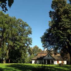
The territory was founded in the 13th century and initially developed as a church jurisdiction before later becoming a noble estate. This transformation reflects the political and social changes in the region during the medieval period.
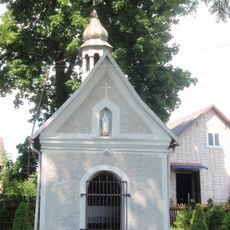
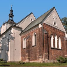
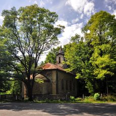
The district contains several religious centers, including a neogothic church from the late 1800s dedicated to St Michael and the Motherhood of Virgin Mary. These places shape the spiritual life in the villages and serve as gathering points for the community.
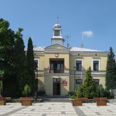
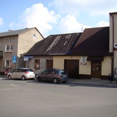
The administrative center is located west of Olkusz and connects to several important regional transportation routes. Visitors should expect the area to be primarily agricultural with rural roads necessary for exploring the different settlements.
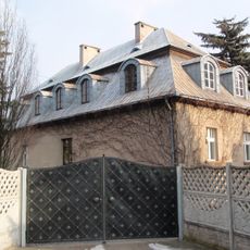
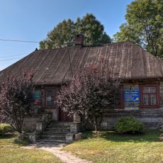
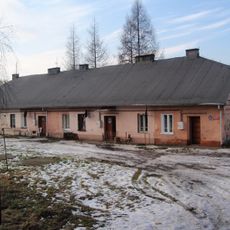
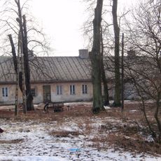
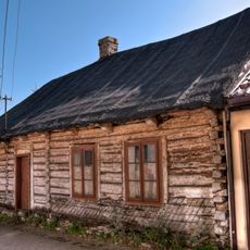
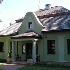
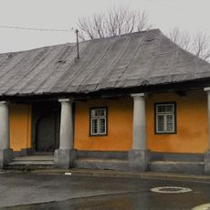
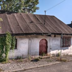
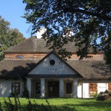
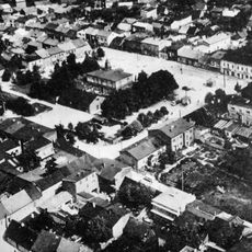
The territory is known for its traditional rural settlement pattern with villages such as Hutki and Krążek that characterize the region's appearance. These smaller communities preserve the characteristic way rural life is organized in this part of Poland.
Location: Olkusz County
Capital city: Boleslaw
Shares border with: Bukowno, Dąbrowa Górnicza, Gmina Klucze, Gmina Olkusz, Sławków
Website: http://boleslaw.top.pl
GPS coordinates: 50.29833,19.47194
Latest update: December 11, 2025 11:01
Sławków Castle
5.7 km
Austeria
5.9 km
Kopiec Kościuszki w Olkuszu
5.7 km
Dwór w Krzykawce
4.7 km
Zakład Walcowni i Giserni pod Sławkowem
5.3 km
Bolesław
444 m
Nowy cmentarz żydowski w Olkuszu
5.6 km
Synagogue in Sławków
5.8 km
11 Kościelna Street in Sławków
5.7 km
Ratusz w Sławkowie
5.9 km
9 Zamkowa Street in Sławków
5.8 km
Chapel in Błędów
5.3 km
Exaltation of the Holy Cross and Saint Nicholas church in Sławków
5.7 km
Błędow Desert Bunker
5.5 km
Dom mieszkalny, ul. Kabania 1 w Sławkowie
5.5 km
9 Mały Rynek Street in Sławków
5.8 km
Magazyn, ob. dom mieszkalny
5.4 km
Dom mieszkalny
5.3 km
Walcownia, ob. wytwórnia wód gazowanych
5.3 km
5 Zamkowa Street in Sławków
5.7 km
Rynek 29
5.9 km
Zespół dworski, XVIII/XIX
4.2 km
Rectory in Sławków
5.7 km
2 Biskupia Street in Sławków
5.8 km
2 Kozłowska Street in Sławków
5.8 km
Dwór, Starowiejska 4 w Krzykawce
4.2 km
Kaplica św. Barbary w Bukownie
2 km
Układ urbanistyczny Sławkowa (w granicach linii obwałowań)
5.9 kmVisited this place? Tap the stars to rate it and share your experience / photos with the community! Try now! You can cancel it anytime.
Discover hidden gems everywhere you go!
From secret cafés to breathtaking viewpoints, skip the crowded tourist spots and find places that match your style. Our app makes it easy with voice search, smart filtering, route optimization, and insider tips from travelers worldwide. Download now for the complete mobile experience.
A unique approach to discovering new places❞
— Le Figaro
All the places worth exploring❞
— France Info
A tailor-made excursion in just a few clicks❞
— 20 Minutes