Gmina Bircza, Rural municipality in Przemyśl County, Poland
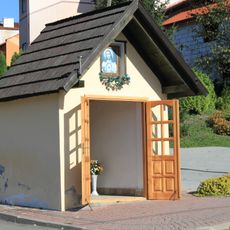
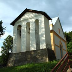
Gmina Bircza is a rural municipality in Przemyśl County, southeastern Poland, encompassing several villages and hamlets spread across the landscape. The administrative center operates from Bircza village and manages local affairs for the entire gmina.
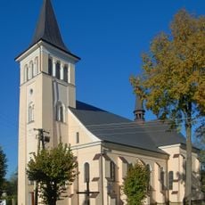
Bircza received municipal rights in 1464, marking the beginning of organized administrative development in this region. This early charter established the settlement as an important local administrative center.
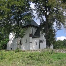
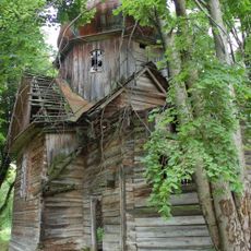
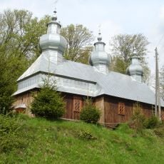
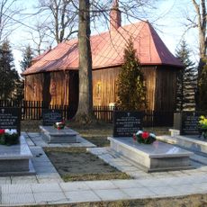
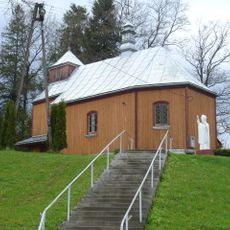
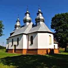
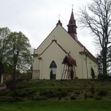
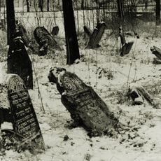
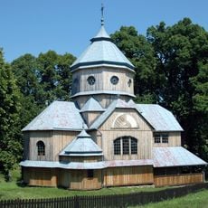
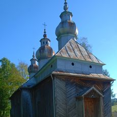
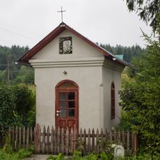
The territory includes multiple villages such as Borownica, Dobrzanka, and Jawornik Ruski, each maintaining distinct local traditions and community practices.
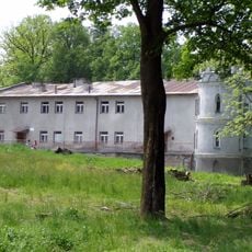
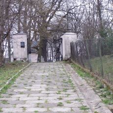
The administrative offices and local services are located in Bircza village, accessible by car from nearby towns. The gmina is best explored by vehicle since settlements are spread across the rural landscape.
The district maintains borders with eleven different gminas, creating an interconnected network of administrative regions in the Subcarpathian Voivodeship.
Location: Przemyśl County
Elevation above the sea: 298 m
Shares border with: Gmina Dubiecko, Gmina Dydnia, Gmina Dynów, Gmina Fredropol, Gmina Krasiczyn, Gmina Krzywcza, Gmina Nozdrzec, Gmina Sanok, Gmina Tyrawa Wołoska, Gmina Ustrzyki Dolne
Website: http://bircza.pl
GPS coordinates: 49.69222,22.47944
Latest update: December 10, 2025 20:07
Saint Onuphrius church, Posada Rybotycka
9.3 km
Castle in Bircza
399 m
St. Anne's Orthodox Church in Kotów
3.2 km
Saint Michael Archangel church in Brzeżawa
8.6 km
Old Cemetery
383 m
Cerkiew św. Dymitra w Kuźminie
9.3 km
Exaltation of the Holy Cross church in Rudawka
2.8 km
Saint Stanislaus Kostka church in Bircza
244 m
Saint Theodosius church in Malawa
5.2 km
Kościół św. Jana Chrzciciela w Leszczawie Dolnej
4.9 km
Our Lady of Perpetual Help church in Kuźmina
9.3 km
Cerkiew Soboru NMP w Birczy
167 m
Cmentarz żydowski w Birczy
457 m
Kościół Świętych Apostołów Piotra i Pawła w Roztoce
10.1 km
Paraskevi of Iconium church in Lipa
7.3 km
Kapliczka w Nowej Wsi
1.7 km
Dom nr 38
63 m
Kapliczka II w Brzusce
6.4 km
Kapliczka w Brzusce
7.1 km
Kapliczka I w Brzusce
6.2 km
Zespół kościoła św. Stanisława Kostki
265 m
City fortifications
92 m
Kaplica grobowa rodz. Pieściorowskich
9.3 km
Kaplica grobowa rodziny Zarębów
7.3 km
Kapliczka w Rudawce
1.9 km
Kapliczka przydrożna
101 m
Dzwonnica
7.3 km
Układ urbanistyczny
193 mVisited this place? Tap the stars to rate it and share your experience / photos with the community! Try now! You can cancel it anytime.
Discover hidden gems everywhere you go!
From secret cafés to breathtaking viewpoints, skip the crowded tourist spots and find places that match your style. Our app makes it easy with voice search, smart filtering, route optimization, and insider tips from travelers worldwide. Download now for the complete mobile experience.
A unique approach to discovering new places❞
— Le Figaro
All the places worth exploring❞
— France Info
A tailor-made excursion in just a few clicks❞
— 20 Minutes