Gmina Żegocina, Rural administrative district in Bochnia County, Poland.
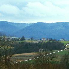
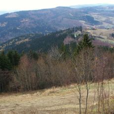
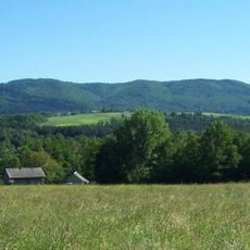
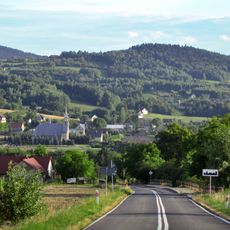
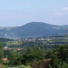
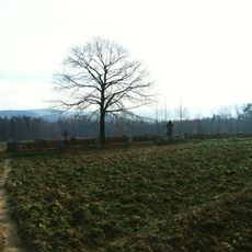
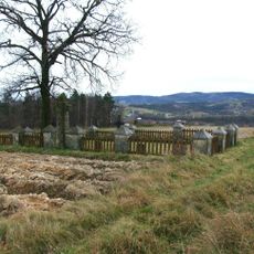
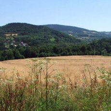
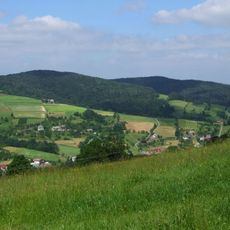
Gmina Żegocina is a rural administrative district in Lesser Poland Voivodeship that encompasses several villages including Bełdno, Bytomsko, Łąkta Górna, and Rozdziele. The area consists of rolling farmland with scattered settlements and traditional village layouts characteristic of southern Poland.
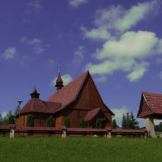
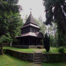
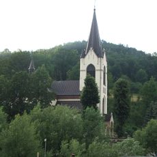
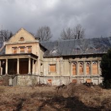
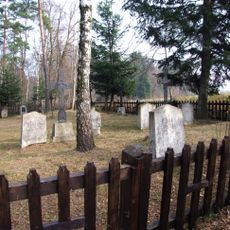
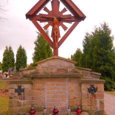
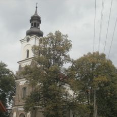
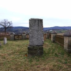
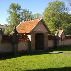
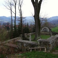
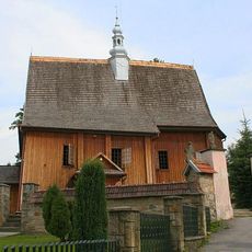
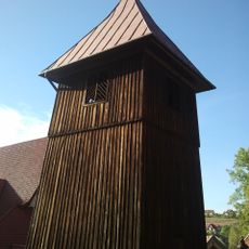
The area was inhabited as early as the 12th century, and the first church was established in 1293. The region developed as an agricultural community rooted in local traditions.
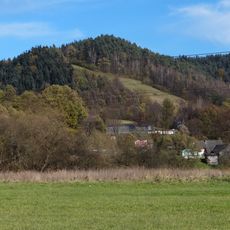
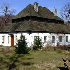
The administrative district preserves traditional Polish rural life patterns, with residents maintaining agricultural practices characteristic of Lesser Poland Voivodeship communities.
The administrative center sits roughly 21 kilometers south of Bochnia and about 46 kilometers southeast of Kraków, accessible via regional roads. Visitors should expect rural routes and local traffic patterns typical of countryside travel.
The administrative district maintains a population density of 140 people per square kilometer, balancing rural character with community development across its constituent villages.
Location: Bochnia County
Capital city: Żegocina
Shares border with: Gmina Laskowa, Gmina Lipnica Murowana, Gmina Nowy Wiśnicz, Gmina Trzciana
Website: http://zegocina.pl
GPS coordinates: 49.80000,20.43333
Latest update: December 10, 2025 16:30
Kamionna
3.6 km
Saint James church in Rozdziele
2.5 km
Rezerwat przyrody Kamionna
3.9 km
Łopusze
429 m
World War I Cemetery nr 357 in Kamionka Mała
4 km
Pasierbiecka Góra
4.6 km
Manor house in Laskowa
4.4 km
Laskowa Góra
4.5 km
Holy Name of Mary church in Laskowa
4.2 km
Manor house in Łąkta Górna
3.5 km
Kościół Matki Bożej Nieustającej Pomocy w Łąkcie Górnej
3.7 km
World War I Cemetery nr 304 in Łąkta Górna
5.1 km
Jastrząbka (Beskid Wyspowy)
4.3 km
World War I Cemetery nr 305 in Łąkta Dolna
5.4 km
World War I Cemetery nr 302 in Żegocina
1.5 km
Saint Nicholas church in Żegocina
1.2 km
World War I Cemetery nr 307 in Łąkta Dolna
5.2 km
Cuba
2.4 km
Zarnowka
2.2 km
World War I Cemetery nr 306 in Łąkta Dolna
5.2 km
Kaplica w Rozdzielu
2.8 km
Górczyna
543 m
Ogrodzenie z kaplicami w Rajbrocie
4.7 km
World War I Cemetery nr 358 in Laskowa
4.2 km
Kobyla
5.6 km
Kościół parafialny Narodzenia NMP w Rajbrocie
4.7 km
Dzwonnica w Rajbrocie
4.7 km
Dwór w Laskowej
4.3 kmVisited this place? Tap the stars to rate it and share your experience / photos with the community! Try now! You can cancel it anytime.
Discover hidden gems everywhere you go!
From secret cafés to breathtaking viewpoints, skip the crowded tourist spots and find places that match your style. Our app makes it easy with voice search, smart filtering, route optimization, and insider tips from travelers worldwide. Download now for the complete mobile experience.
A unique approach to discovering new places❞
— Le Figaro
All the places worth exploring❞
— France Info
A tailor-made excursion in just a few clicks❞
— 20 Minutes