Gmina Słomniki, Administrative division in Kraków County, Poland.
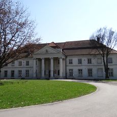
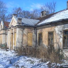
Gmina Słomniki is an administrative municipality near Kraków that combines urban and rural areas in a mixed landscape. The territory comprises multiple villages and settlements with varying character and serves as a transition between the city and the countryside.
The current administrative structure took shape during Poland's major local government reforms in the late 1990s. That restructuring redefined territorial boundaries and reorganized how municipalities function within the broader administrative system.
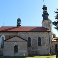
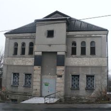
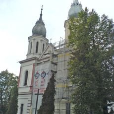
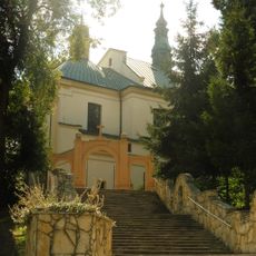
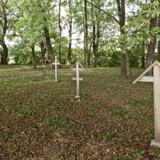
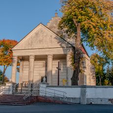
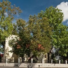
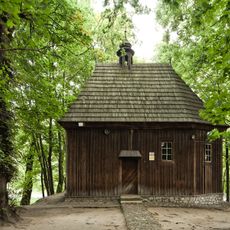
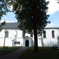
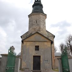
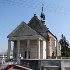
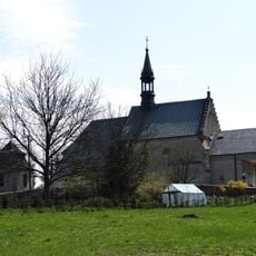
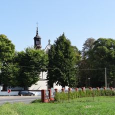
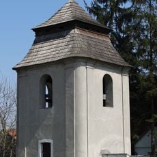
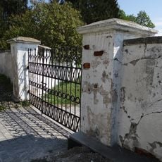
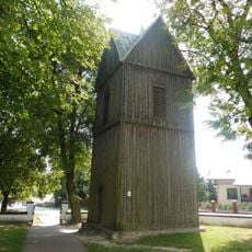
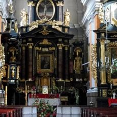
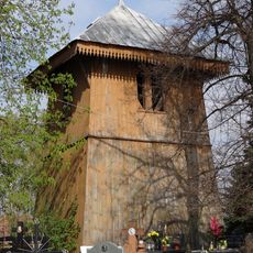
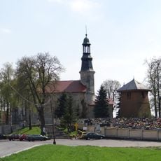
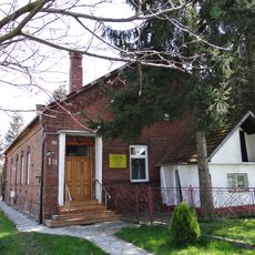
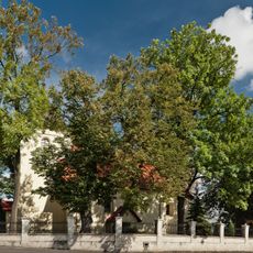
The villages here maintain their own traditions and ways of living, with agriculture and small-scale crafts shaping daily life in each settlement. You can see traditional houses and local churches that anchor community identity and reflect the pace of rural existence.
The town of Słomniki serves as the main administrative center and is accessible by car or local transport from Kraków. Most services and facilities are concentrated in the town itself, while the surrounding villages have fewer amenities and require more planning to visit.
The territory borders six neighboring municipalities and serves as a connecting point between different parts of the region's administrative landscape. This central position makes it an intersection where different local jurisdictions meet.
Location: Kraków County
Capital city: Słomniki
Shares border with: Gmina Gołcza, Gmina Iwanowice, Gmina Kocmyrzów-Luborzyca, Gmina Koniusza, Gmina Miechów, Gmina Radziemice
Website: http://slomniki.pl
GPS coordinates: 50.25000,20.10000
Latest update: December 11, 2025 18:06
Saint John the Baptist church in Prandocin
1.6 km
Palace in Niedźwiedź
2.3 km
Synagogue in Słomniki
1.9 km
Corpus Christi church in Słomniki
1.9 km
Immaculate Conception church in Zielenice
7.4 km
Old cemetery in Goszcza
7.2 km
Manor in Goszcza
7.3 km
Zespół kościoła św. Wojciecha w Niedźwiedziu
2.5 km
Kościół św. Wawrzyńca w Goszczy
7.5 km
Saints Odile and Lucy chapel in Wilków
8 km
Zespół dworski w Czechach
5.3 km
Saint James church in Niegardów
7.1 km
Kościół parafialny św. Jana Chrzciciela, XIX
1.6 km
Kościół parafialny św. Wojciecha, 1486-1493, XVI/XVII
2.5 km
Zespół kościoła parafialnego NMP Niepokalanie Poczętej
7.4 km
Zespół pałacowy
2.3 km
Adalbert of Prague church in Niedźwiedź
2.5 km
Zespół kościoła parafialnego św. Jakuba Starszego w Niegardowie
7.1 km
Dzwonnica
2.5 km
Ogrodzenie z bramami
2.5 km
Ogrodzenie
7.5 km
Dzwonnica w Niegardowie
7.1 km
Plebania w Prandociniu
1.5 km
Kościół parafialny NMP Niepokalanie Poczętej w Zielenicach
7.4 km
Dzwonnica w Prandociniu
1.6 km
Zespół kościoła parafialnego św. Jana Chrzciciela, XIX
1.6 km
Plebania
2.5 km
Zespół kościoła parafialnego św. Wawrzyńca
7.4 kmVisited this place? Tap the stars to rate it and share your experience / photos with the community! Try now! You can cancel it anytime.
Discover hidden gems everywhere you go!
From secret cafés to breathtaking viewpoints, skip the crowded tourist spots and find places that match your style. Our app makes it easy with voice search, smart filtering, route optimization, and insider tips from travelers worldwide. Download now for the complete mobile experience.
A unique approach to discovering new places❞
— Le Figaro
All the places worth exploring❞
— France Info
A tailor-made excursion in just a few clicks❞
— 20 Minutes