Silesian Upland, Natural upland region across Opole, Silesian, and Lesser Poland Voivodeships, Poland
The Silesian Upland is a hilly region in southern Poland spanning three voivodeships, characterized by rolling terrain, valleys, and rocky outcrops. St Anne Mountain stands as its highest point, offering a clear landmark within the landscape.
The region was shaped by geological processes over millions of years, creating a natural barrier that influenced where people settled and how they moved through the land. Its geography had deep effects on regional development throughout history.
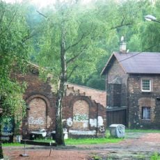
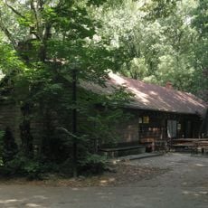
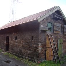
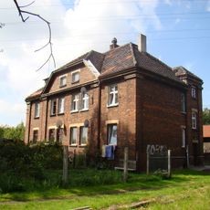
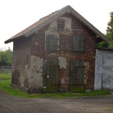
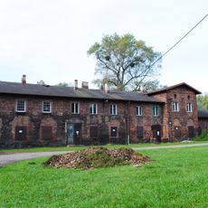
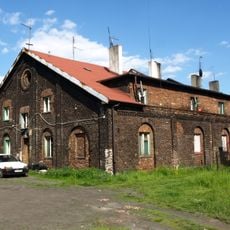
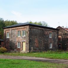
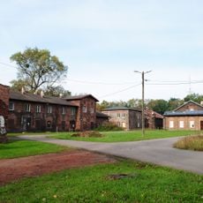
Mining communities have shaped the settlements and local identity across this region for generations. You can see this industrial heritage reflected in the towns and villages that dot the landscape today.
Multiple hiking trails connect different areas of the upland, making it easy to explore at your own pace. Spring through autumn offers the most comfortable walking conditions, with good weather and clear paths.
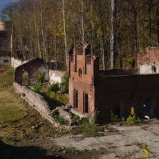
Beneath the surface lies a network of mines and underground passages created by centuries of mineral extraction. These hidden layers reveal how industrial activity shaped the landscape from below.
The community of curious travelers
AroundUs brings together thousands of curated places, local tips, and hidden gems, enriched daily by 60,000 contributors worldwide.