Opole Voivodeship

Log in to your account

AroundUs is a community-driven map of interesting places, built by curious explorers like you. It grows with every review, story, and photo you share.
Connect to save your favorite spots, contribute locations, and create personalized routes.
Continue with Google
Continue with Apple
Continue with X
Continue with Facebook
Continue with email
By continuing, you accept our Terms and Conditions and our Privacy Policy
Create an account
Add to collection
Map
Suggest a change
Share

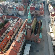
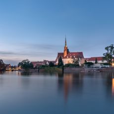
Opole Voivodeship, Administrative division in southwestern Poland

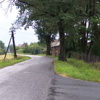
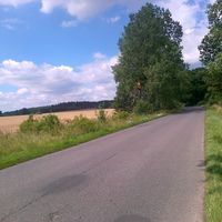
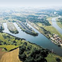
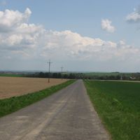
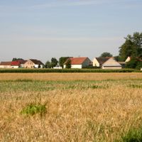
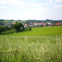
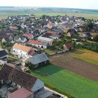
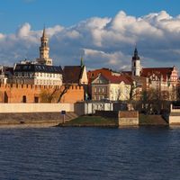
Opole Voivodeship is an administrative unit in southwestern Poland that stretches along the Oder River and includes twelve counties. The region combines urban centers with rural areas, where farmland and smaller towns shape the landscape.

The voivodeship was created in 1950 through an administrative reform that separated the territory from Katowice Voivodeship and established independent regional governance. This reorganization aimed to improve administration in the southwestern part of the country and better address local needs.

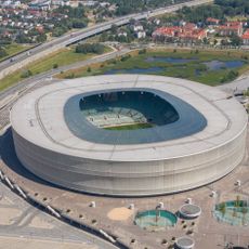
German holds official status in 28 municipalities across the voivodeship, making the presence of the German minority visible in daily life. Visitors notice bilingual town signs and hear both languages spoken in shops and public spaces.

The area is well connected by road and rail to other Polish cities and the Czech Republic, making it easy to reach and move around within the region. Travelers find accommodation and information centers in the larger towns, while rural areas are best explored by car.

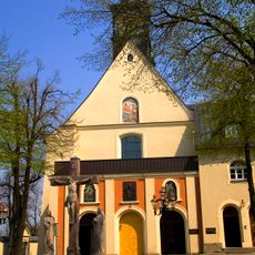
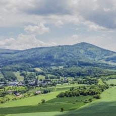
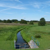
Three landscape parks protect different natural environments within the voivodeship: the Opawskie Mountains in the south, Góra Świętej Anny with its wooded hill, and the Stobrawa river valley in the north. These parks preserve typical ecosystems of the Silesian Lowland and offer walking trails through varying vegetation zones.

Location: Poland

Inception: January 1, 1999

Capital city: Opole

Reference: OP

Shares border with: Lower Silesian Voivodeship, Greater Poland Voivodeship, Łódź Voivodeship, Silesian Voivodeship, Moravian-Silesian Region, Olomouc Region

Website: http://umwo.opole.pl

GPS coordinates: 50.63333,17.90000

Latest update: December 12, 2025 22:58

Photos
Reviews

Visited this place? Tap the stars to rate it and share your experience / photos with the community! Try now! You can cancel it anytime.

« Opole Voivodeship - Administrative division in southwestern Poland » is provided by Around Us (aroundus.com). Images and texts are derived from Wikimedia project under a Creative Commons license. You are allowed to copy, distribute, and modify copies of this page, under the conditions set by the license, as long as this note is clearly visible.

Discover hidden gems everywhere you go!

From secret cafés to breathtaking viewpoints, skip the crowded tourist spots and find places that match your style. Our app makes it easy with voice search, smart filtering, route optimization, and insider tips from travelers worldwide. Download now for the complete mobile experience.

Around Us App Screenshot

A unique approach to discovering new places

Le Figaro

All the places worth exploring

France Info

A tailor-made excursion in just a few clicks

20 Minutes