Kędzierzyn-Koźle County, Administrative county in Opole Voivodeship, Poland
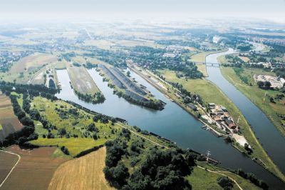
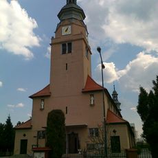
Kędzierzyn-Koźle County is an administrative area in Opole Voivodeship, in southern Poland, where the Oder River meets the Kłodnica waterway. It covers one city and five rural communities along this river corridor.
The county took its current form in 1999, when Poland reorganized its administrative structure into voivodeships, counties, and communes. Before that, the area had been governed under a different arrangement since 1975, when several communities were merged.
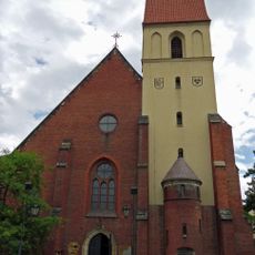
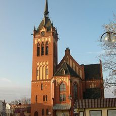
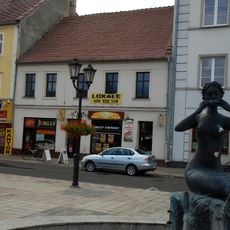
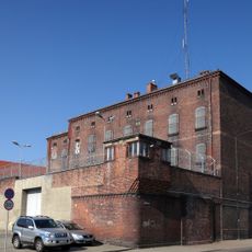
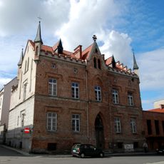
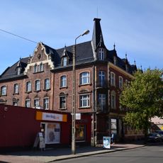
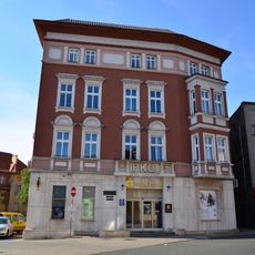
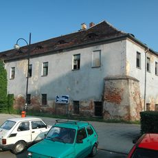
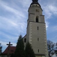
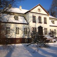
In Koźle, visitors can still see the remains of a medieval castle that dates back to the 14th century. The town's older streets carry traces of Central European border history, visible in the mix of building styles found there.
The county sits along the A4 motorway and has several railway stations, making it easy to reach from major Polish cities. Those who want to explore by water can use the canal network that connects the area to nearby regions.
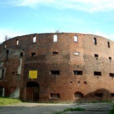
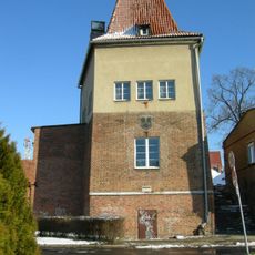
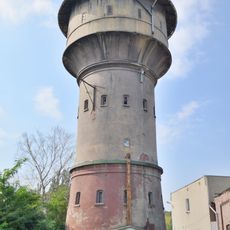
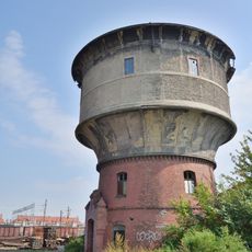
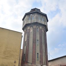
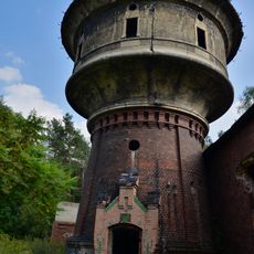
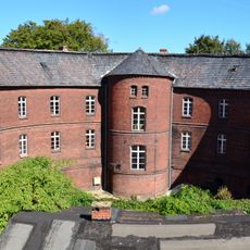
The Montalembert Tower, a 19th-century fortification in the county, was built following principles inspired by the French military engineer Marc-René de Montalembert. It is one of the few surviving examples of this type of defensive structure in Poland.
The community of curious travelers
AroundUs brings together thousands of curated places, local tips, and hidden gems, enriched daily by 60,000 contributors worldwide.