Opole County, Administrative district in Opole Voivodeship, Poland.
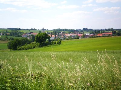
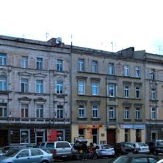
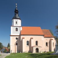
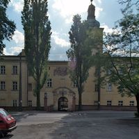
Opole County is an administrative district located in southwestern Poland within Opole Voivodeship, covering an area of approximately 1,600 square kilometers. It contains four towns and thirteen municipalities with a combined population of more than 120,000 people, featuring a mix of urban centers and rural villages.
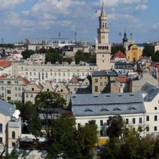
This administrative division was established in 1999 during Poland's local government reforms, with Opole designated as its administrative center. The reorganization was part of a broader restructuring of regional governance throughout Poland at that time.
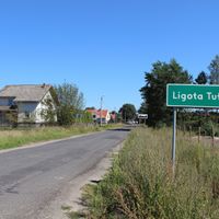
The area has a strong German-speaking community, with German recognized as a co-official language in several towns and villages across the county. Visitors can notice this linguistic heritage reflected in street signs, local businesses, and conversations with residents.
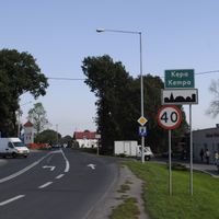
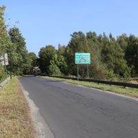
The area is well connected by rail lines and highways that link it to Opole and surrounding regions, making it easily accessible. To explore the various municipalities and towns across the territory, it helps to use public transportation or have access to a vehicle.
The county contains substantial deposits of limestone and marble that have been extracted for industrial purposes and shaped economic development over time. These natural resources are visible in the region's industrial character, creating an interesting contrast with the agricultural landscapes that cover much of the territory.
The community of curious travelers
AroundUs brings together thousands of curated places, local tips, and hidden gems, enriched daily by 60,000 contributors worldwide.