Krasnobród Landscape Park, aire protégée de Pologne
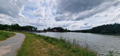
Krasnobród Landscape Park is a protected area covering nearly 9,400 hectares near Szur, dominated by coniferous and beech forests layered across rolling hills and sand dunes. The terrain features limestone hills with valleys and several waterways including streams named Szum and Sopot, while the Wieprz River serves as the park's main watercourse flowing through the central area.
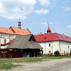
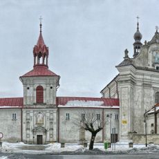
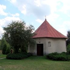
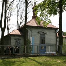
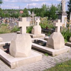
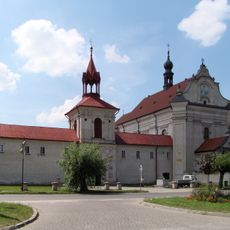
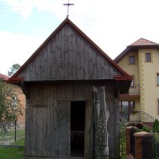
The park was established in 1988 as part of the Lubelskie Landscape Parks network to protect the natural and historical features of the middle Roztocze region. The landscape bears marks of ancient geological shifts and human history, with old springs serving as secret meeting places during past events and crosses commemorating historical uprisings and fallen soldiers.
The park was established in 1988 as part of the Lubelskie Landscape Parks network to protect the natural and cultural heritage of the middle Roztocze region. Local stories and legends connect people to the forests and springs, which have been meeting places and sources of spiritual meaning for generations. Walking here, visitors can sense how nature and human memory remain intertwined throughout the landscape.
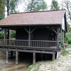
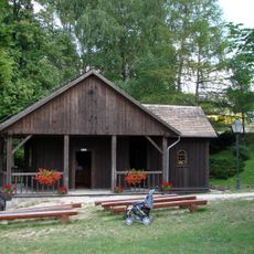
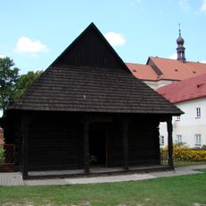
The park is easily reached from the nearby town of Szur and features several marked trails including the green trail named after W. Podobińska, the red partisan trail, and the black connecting trail that wind through different sections. Visitors should wear sturdy shoes, bring water, and be prepared for a simple experience as facilities are limited throughout the area.
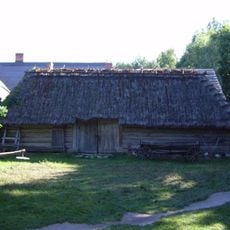
The park's two nature reserves, particularly Św. Roch, contain trees over 250 years old reaching nearly 150 feet tall alongside rare plants including orchids and carnivorous sundews. Visitors are often surprised to learn that this ancient forest landscape remains a functioning historical relic, hosting ecosystems that have persisted unchanged for centuries despite the modern world surrounding it.
The community of curious travelers
AroundUs brings together thousands of curated places, local tips, and hidden gems, enriched daily by 60,000 contributors worldwide.