Mąkolno, Lower Silesian Voivodeship, Rural village in Lower Silesian Voivodeship, Poland.
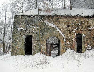
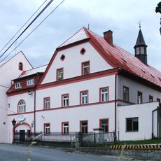
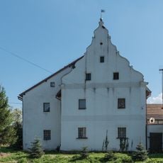
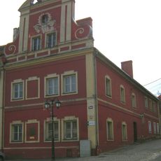
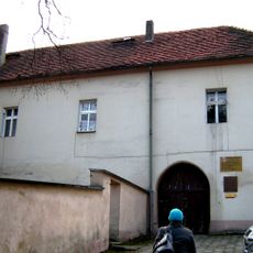
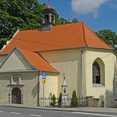
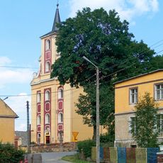
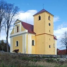
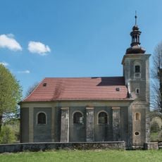
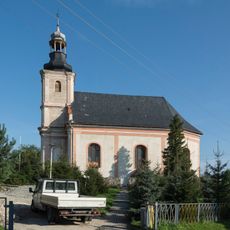
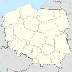
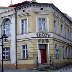
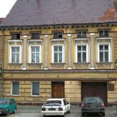
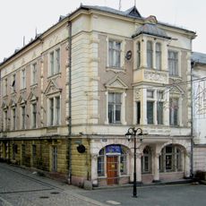
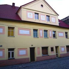
Mąkolno is a rural village in Lower Silesian Voivodeship in southwestern Poland, situated near the Czech border within Gmina Złoty Stok administrative district. The village sits in an agricultural area characteristic of the region, with scattered buildings and open countryside typical of small Polish settlements.
The village developed in a region marked by shifting political boundaries between Polish and German-speaking territories throughout history. Its growth reflects the complex past of Lower Silesia, where local communities lived under different administrations across the centuries.
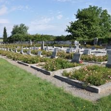
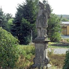
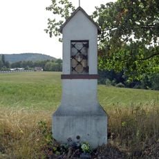
The village maintains traditional Polish rural customs and practices, contributing to the preservation of Lower Silesian heritage through local celebrations and community gatherings.
The village is best reached with your own transport, as public transportation options are limited in this rural area. Visitors should expect basic infrastructure and plan visits during daylight hours for better orientation.
The geographical position of Mąkolno at coordinates 50.4639°N and 16.8467°E places it strategically near the Polish-Czech border, enabling cross-cultural interactions.
The community of curious travelers
AroundUs brings together thousands of curated places, local tips, and hidden gems, enriched daily by 60,000 contributors worldwide.