
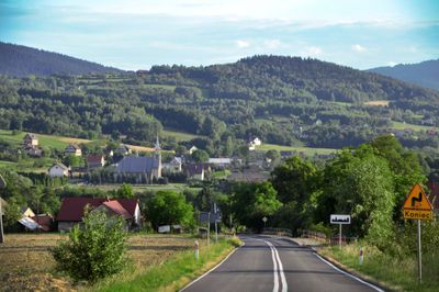
Łąkta Górna, village in Lesser Poland, Poland
Location: Gmina Żegocina
Elevation above the sea: 457 m
Website: http://www.zegocina.pl/samorzad/solectwa/lakta/lakta.htm
Website: http://zegocina.pl/samorzad/solectwa/lakta/lakta.htm
GPS coordinates: 49.83330,20.43330
Latest update: March 10, 2025 15:43
Kamionna
6.6 km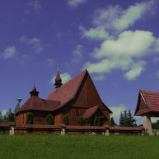
Saint James church in Rozdziele
5.3 km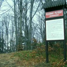
Rezerwat przyrody Kamionna
6.5 km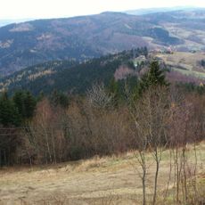
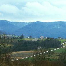
Łopusze (Beskid Wyspowy)
3.6 km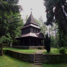
World War I Cemetery nr 357 in Kamionka Mała
6.4 km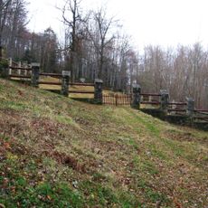
World War I Cemetery nr 300 in Rajbrot-Kobyła
6.7 km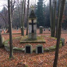
World War I Cemetery nr 308 in Królówka
2 km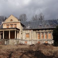
Manor house in Łąkta Górna
911 m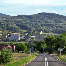
Kościół Matki Bożej Nieustającej Pomocy w Łąkcie Górnej
0 m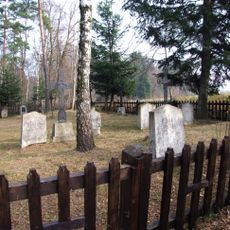
World War I Cemetery nr 304 in Łąkta Górna
1.6 km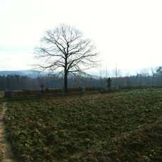
World War I Cemetery nr 305 in Łąkta Dolna
1.7 km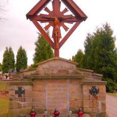
World War I Cemetery nr 302 in Żegocina
3.5 km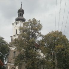
Saint Nicholas church in Żegocina
3.3 km
World War I Cemetery nr 309 in Trzciana
4.4 km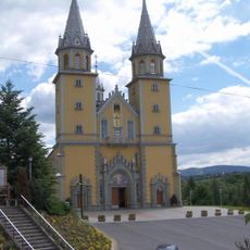
Saint Margaret of Antioch
4.3 km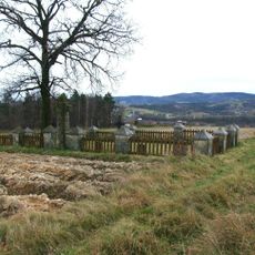
World War I Cemetery nr 307 in Łąkta Dolna
1.6 km
Cuba
5.9 km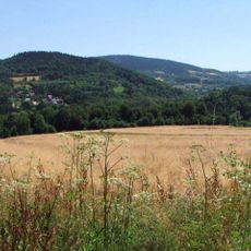
Zarnowka
1.6 km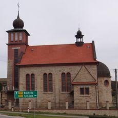
Kościół Najświętszego Serca Pana Jezusa w Muchówce
3.3 km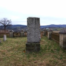
World War I Cemetery nr 306 in Łąkta Dolna
1.6 km
Kaplica w Rozdzielu
5.3 km
Górczyna
4.1 km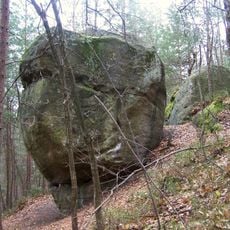
Paprotna
3.1 km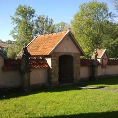
Ogrodzenie z kaplicami w Rajbrocie
4.2 km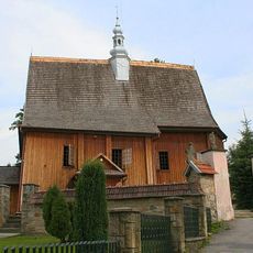
Kościół parafialny Narodzenia NMP w Rajbrocie
4.2 km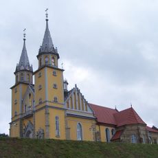
Saint Margaret of Antioch church in Trzciana
4.3 km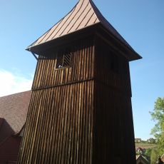
Dzwonnica w Rajbrocie
4.2 km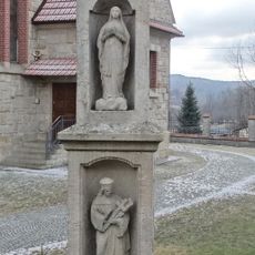
Kapliczka słupowa w Muchówce
3.3 kmReviews
Visited this place? Tap the stars to rate it and share your experience / photos with the community! Try now! You can cancel it anytime.
Discover hidden gems everywhere you go!
From secret cafés to breathtaking viewpoints, skip the crowded tourist spots and find places that match your style. Our app makes it easy with voice search, smart filtering, route optimization, and insider tips from travelers worldwide. Download now for the complete mobile experience.

A unique approach to discovering new places❞
— Le Figaro
All the places worth exploring❞
— France Info
A tailor-made excursion in just a few clicks❞
— 20 Minutes