Lower Silesian Wilderness, Natural forest in southwestern Poland
The Lower Silesian Wilderness is a large forest area in southwestern Poland with diverse landscapes throughout. The region contains forest ponds, peatlands, marshes, and inland dunes that shape its natural character.
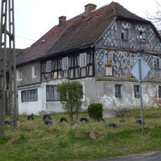
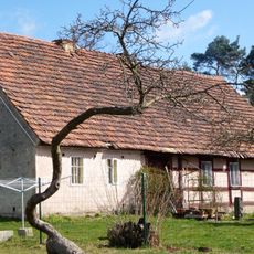
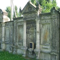
The area bears traces of different historical periods, from bunkers built during World War II to Soviet installations from the Cold War. These military structures document the region's complex past.
Local beekeepers produce honey from the heather fields, a craft that has deep roots in the region's daily life. People continue this tradition today, maintaining skills passed down through generations.
The area is crossed by an extensive network of paths for hiking, cycling, horseback riding, and wildlife watching. Visitors should expect changing weather and wet ground, especially in the marsh and peatland areas.
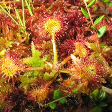
The area houses some of Poland's last lowland peatland pine forests, found near Węglińce and remaining from the post-glacial period. These rare ecosystems show how the landscape appeared right after the ice age ended.
GPS coordinates: 51.37051,15.12045
Latest update: December 7, 2025 19:22
Kulturinsel Einsiedel
10.7 km
Rezerwat przyrody Żurawie Bagno (województwo lubuskie)
10.6 km
WOP post in Sobolice
10.6 km
Węgliniec-Horka border crossing
11.2 km
Zentendorfer Neisseviadukt
11.2 km
Saint Francis of Assisi church in Pieńsk
14.5 km
Kościół św. Wawrzyńca w Gozdnicy
7.7 km
Virgin Mary Queen of Poland church in Węgliniec
11.4 km
Kościół ewangelicki w Ruszowie
5.2 km
Church of the Holy Spirit in Gozdnica
7.4 km
Sacred Heart church in Węgliniec
11.9 km
Church of the Ressurection of the Lord in Ruszów
5.4 km
Kościół ewangelicki, ob. rzym.-kat. Wniebowzięcia NMP
15.1 km
Our Lady of the Scapular church in Stary Węgliniec
9.1 km
Czerwona Woda, Zgorszelecka 12
15.2 km
Saint Anthony church in Parowa
11 km
Noes, Gefallenendenkmal WK I
11.4 km
Former evangelical church in Ruszów
5.2 km
Kościół ewangelicki, ob. rzym.-kat. NMP Królowej Polski
11.4 km
Ogrodzenie cmentarza kościelnego
15 km
Bremenhain, Denkmal für die Gefallenen des I. Weltkrieges
12.4 km
Czerwona Woda, Wesola 1
15.3 km
Stary Wegliniec, cementarna 1
9.1 km
Geheege, Gefallenendenkmal
13.4 km
Zespół Huty Szkła Lucyna (zakład Nysa)
15.1 km
Zespół kościoła ewangelickiego, ob. rzym.-kat. Wniebowzięcia NMP
15.1 km
Gasthaus Am Feilebach 4
11.3 km
Weißwasser, Tor des ehemaligen Friedhofs
13.4 kmVisited this place? Tap the stars to rate it and share your experience / photos with the community! Try now! You can cancel it anytime.
Discover hidden gems everywhere you go!
From secret cafés to breathtaking viewpoints, skip the crowded tourist spots and find places that match your style. Our app makes it easy with voice search, smart filtering, route optimization, and insider tips from travelers worldwide. Download now for the complete mobile experience.
A unique approach to discovering new places❞
— Le Figaro
All the places worth exploring❞
— France Info
A tailor-made excursion in just a few clicks❞
— 20 Minutes