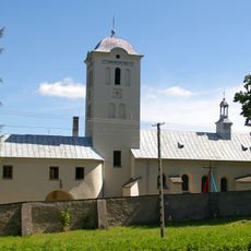
Nature reserve Kamień Michniowski, Nature reserve in Sieradowicki Landscape Park, Poland
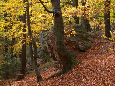
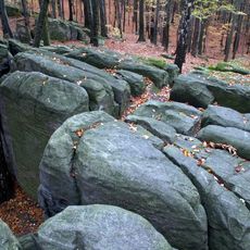
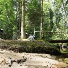
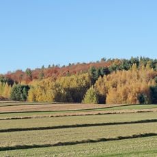
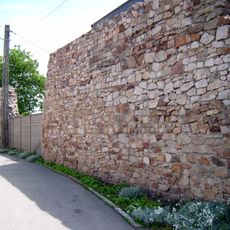
Nature reserve Kamień Michniowski is a protected area in Sieradowicki Landscape Park with mixed forests and geological rock formations visible on the slopes. The site features diverse tree species and natural cave structures integrated into the landscape.
The protected area was established in 1978 to safeguard the geological formations and forest habitats in this region. The designation recognized the scientific importance of the natural structures found here.
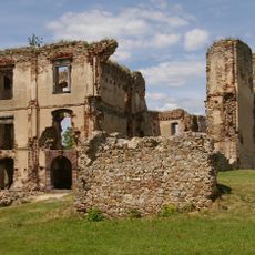
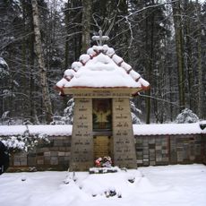
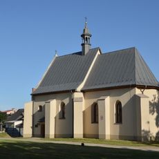
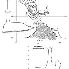
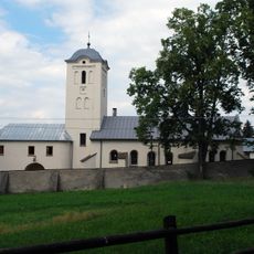
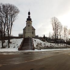
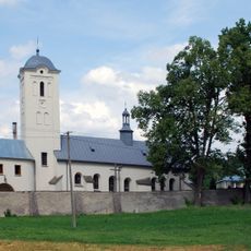
The reserve contains Ponury Cave and forms part of the local trail network, connecting historical sites including the Chapel of Saint Barbara.
Access is best on foot, with marked trails leading through the grounds. The best time to visit is during warmer months when pathways are dry and walkable.
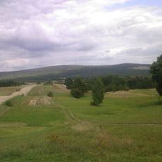
The site includes the summit of Kamień Michniowski, the highest point of the Sieradowice Mountain Range within the Świętokrzyskie Mountains. From this elevation, the surrounding landscape stretches out in broad views.
GPS coordinates: 50.99860,20.87280
Latest update: December 14, 2025 16:42
Bodzentyn Castle
8.4 km
Wykus
8.4 km
The White Eagle Museum
10.1 km
Mausoleum in Michniów
1.8 km
Bukowa Góra (Góry Świętokrzyskie)
5.3 km
Saint Stanislaus church in Bodzentyn
8.5 km
Centrum Edukacyjne Szklany Dom w Ciekotach
10.8 km
Rezerwat przyrody Wykus
7.2 km
Holy Spirit church in Bodzentyn
8.9 km
Jewish Cemetery in Bodzentyn
8.4 km
Jaskinia Ponurego
237 m
Nature reserve Góra Sieradowska
7.2 km
Saint Andrew church in Suchedniów
6.3 km
Barcza (Góry Świętokrzyskie)
9.9 km
World War I cemetery in Bodzentyn
8.2 km
Parish Cemetery in Bodzentyn
9.1 km
Kościół św. Katarzyny
10.8 km
Kościół Wniebowzięcia NMP we Wzdół-Koloni
2.4 km
Saint John of Nepomuk wayside shrine in Suchedniów
6.7 km
Zespół klasztorny bernardynek
10.7 km
Klasztor
10.8 km
Miejsce pamięci narodowej „Wykus”
7.1 km
Kapliczka
7.1 km
3 Berezów Street in Suchedniów
5 km
30 Bodzentyńska Street in Suchedniów
5.4 km
54 Kielecka Street in Suchedniów
6 km
Pozostałości murów miejskich, przed 1380 r.
8.6 km
Miasto (układ w granicach d. murów obronnych), poł. XIV w.
8.6 kmVisited this place? Tap the stars to rate it and share your experience / photos with the community! Try now! You can cancel it anytime.
Discover hidden gems everywhere you go!
From secret cafés to breathtaking viewpoints, skip the crowded tourist spots and find places that match your style. Our app makes it easy with voice search, smart filtering, route optimization, and insider tips from travelers worldwide. Download now for the complete mobile experience.
A unique approach to discovering new places❞
— Le Figaro
All the places worth exploring❞
— France Info
A tailor-made excursion in just a few clicks❞
— 20 Minutes