Rury, Administrative district in Lublin, Poland
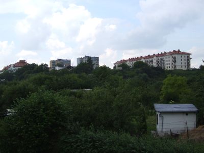
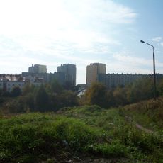
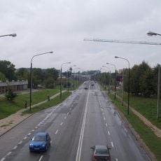
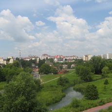
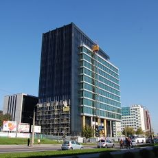
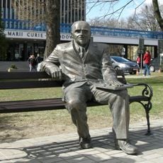
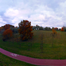
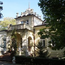
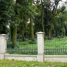
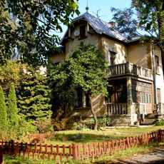
Rury is a residential district in southwestern Lublin that occupies elevated terrain across former municipal fields. The area has a mixed structure with housing, public facilities, and open green spaces throughout the district.
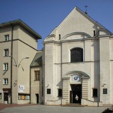
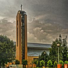
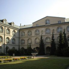
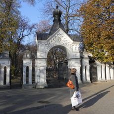
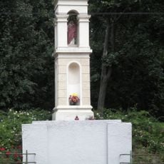
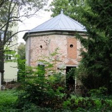
The name comes from water supply pipes installed in 1506, marking one of Poland's earliest municipal water systems. Until the 18th century, three different monastic communities controlled separate portions of this area.
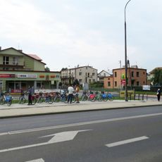
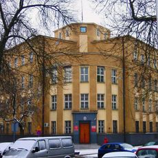
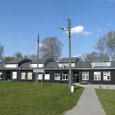
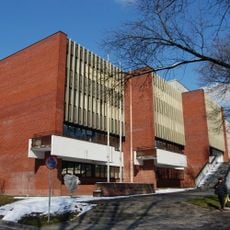
This residential area brings together schools, libraries, and cultural centers that shape daily life for local residents. People of different ages meet regularly at community events and use these spaces as gathering points.
The area is easy to navigate on foot with local services spread throughout the district. Visitors can find public facilities readily and orient themselves using the existing street network.
Three separate monastic communities left their mark on the place through historical names still attached to different parts of the district today. These religious influences shaped how the area developed and are still visible in its layout.
Location: Lublin
Shares border with: Wieniawa, Śródmieście, Za Cukrownią, Czuby, Konstantynów (Lublin)
Website: https://lublin.eu/rady-dzielnic/dzielnice/rury
GPS coordinates: 51.23880,22.51660
Latest update: December 7, 2025 20:41
Sławinek
1.9 km
Konstantynów
1.8 km
Osiedle Poręba
1.8 km
Czuby Północne
1.2 km
Czuby Południowe
1.7 km
Under the Clock
2.2 km
Labyrinth Gallery
2.3 km
Gray Office Park
788 m
Holy Cross church in Lublin
2.1 km
Lublin - Zachód deanery
1.7 km
Water tower at Aleje Racławickie in Lublin
1.6 km
UMCS Library
1.9 km
Ławeczka Henryka Raabego w Lublinie
1.9 km
John Paul II Park in Lublin
1.5 km
Muzeum Uniwersytetu Marii Curie-Skłodowskiej w Lublinie
1.9 km
Muzeum Uniwersyteckie Historii KUL w Lublinie
2.2 km
Synagoge
2.3 km
Lipowa Street cemetery, Lublin
2.3 km
Church of the Nativity of the Virgin Mary in Lublin Skansen
2.3 km
Roman Catholic cemetery in Lublin, Lipowa Street
2.2 km
Zespół cmentarzy miejskich, Lipowa 15 w Lublinie
2.3 km
51 Warszawska Street in Lublin
1.9 km
Military cemetery in Lublin, Lipowa Street
2.2 km
Zespół dworski, Aleja Kraśnicka 118a w Lublinie
2.1 km
Park
2.2 km
47 Warszawska Street in Lublin
1.9 km
Christian wayside shrine in Ogród Saski in Lublin
2.2 km
Domek Kata in Lublin
2.1 kmVisited this place? Tap the stars to rate it and share your experience / photos with the community! Try now! You can cancel it anytime.
Discover hidden gems everywhere you go!
From secret cafés to breathtaking viewpoints, skip the crowded tourist spots and find places that match your style. Our app makes it easy with voice search, smart filtering, route optimization, and insider tips from travelers worldwide. Download now for the complete mobile experience.
A unique approach to discovering new places❞
— Le Figaro
All the places worth exploring❞
— France Info
A tailor-made excursion in just a few clicks❞
— 20 Minutes