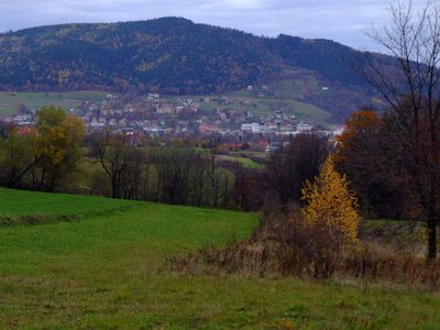
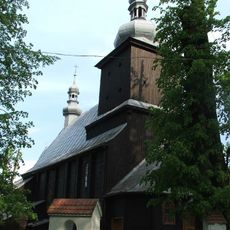
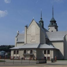
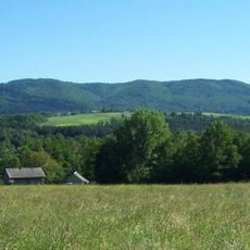
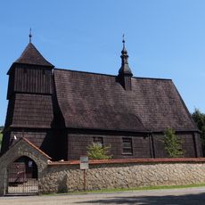
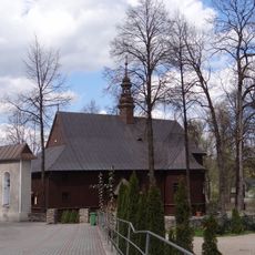
Zęzów, Mountain summit in Lesser Poland Voivodeship, Poland.
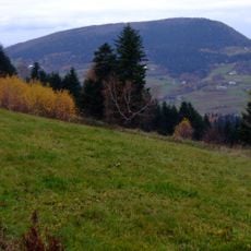
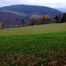
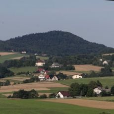
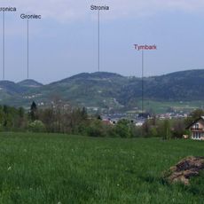
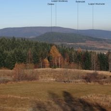
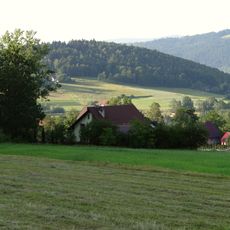
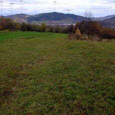
Zęzów is a mountain summit in Lesser Poland Voivodeship that rises from the surrounding landscape and offers views across the region. Multiple hiking trails of varying difficulty connect to this peak, making it accessible from different approach points.
For centuries, this peak served as a natural landmark that helped travelers navigate through the Lesser Poland region and find their way through the landscape. Over time, it became an increasingly popular destination for organized hiking and exploration.
The summit serves as a meeting point for local hikers who gather to share their mountain experiences and maintain a strong connection to the landscape. This place holds significance in the everyday outdoor traditions of people from nearby communities.
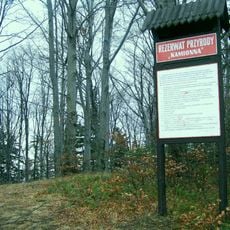
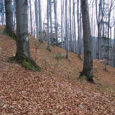
The summit is accessible via marked trails from several starting points, allowing visitors to choose a route that matches their fitness level and time available. Information boards and rest areas line the routes to help hikers make informed choices and take breaks during their walk.
The mountain's rock formations produce distinctive sounds when strong winds pass through them, creating an unusual acoustic feature at this location. This natural phenomenon occurs only under certain weather conditions and becomes noticeable to visitors during breezy days.
The community of curious travelers
AroundUs brings together thousands of curated places, local tips, and hidden gems, enriched daily by 60,000 contributors worldwide.