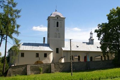
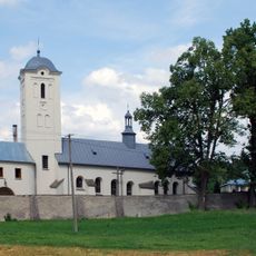
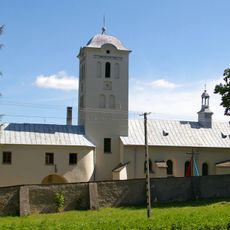
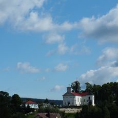
Święta Katarzyna, Świętokrzyskie Voivodeship, Mountain village in Świętokrzyskie Voivodeship, Poland.
Description
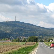
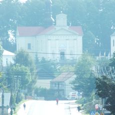
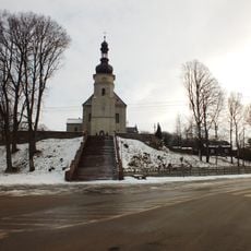
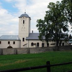
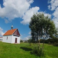
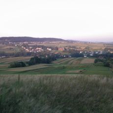
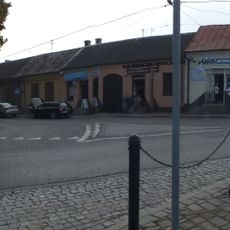
Święta Katarzyna is a village in Gmina Bodzentyn located in the Świętokrzyskie Voivodeship. It sits on rolling terrain surrounded by forests and open fields that shape the character of the local landscape.
History
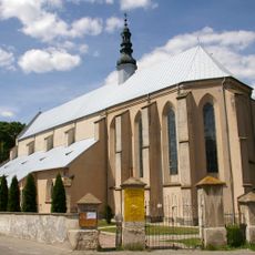
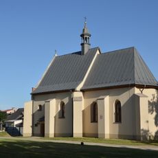
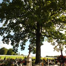
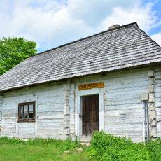
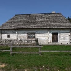
The settlement takes its name from a medieval religious connection and developed as a rural community through the centuries. Its growth was shaped by farming practices and the administrative structures of the region.
Culture
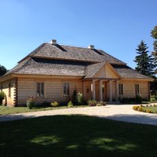
Local residents maintain traditional Polish farming methods and celebrate seasonal festivals that reflect the agricultural heritage of the Świętokrzyskie region.
Practical
Visitors can enjoy walking routes through the surrounding countryside and use the location as a base for exploring the nearby Świętokrzyskie Mountains. The village is accessible and works well for day trips to attractions in the wider area.
Did you know?
The village population consists of exactly 781 residents, with an almost perfect gender balance of 387 males and 394 females as of 2021.
AroundUs brings together thousands of curated places, local tips, and hidden gems, enriched daily by 60,000 contributors worldwide. Discover all places nearby (Gmina Bodzentyn).
Świętokrzyskie Mountains
7.3 km
Świętokrzyski National Park
7.6 km
Łysica
2 km
Park Rozrywki i Miniatur - Sabat Krajno
2 km
Bodzentyn Castle
6.4 km
Bukowa Góra (Góry Świętokrzyskie)
6.7 km
Saint Stanislaus church in Bodzentyn
6.5 km
Centrum Edukacyjne Szklany Dom w Ciekotach
5 km
Holy Spirit church in Bodzentyn
6.7 km
Jewish Cemetery in Bodzentyn
5.6 km
Kościół św. Józefa Oblubieńca w Bielinach
7.7 km
Dąbrówka (Pasmo Masłowskie)
7.2 km
Cemetery in Bieliny, Kielce County
7.9 km
Zabytkowa chata Świętokrzyska
5.3 km
World War I cemetery in Bodzentyn
6.1 km
Cmentarz kościelny w Bielinach
7.7 km
Kościół Wniebowzięcia NMP we Wzdół-Koloni
8 km
Parish Cemetery in Bodzentyn
7 km
Kościół św. Katarzyny
476 m
Saint Joachim chapel in Wola Jachowa
7 km
Klonówka (góra)
9.2 km
Zespół klasztorny bernardynek
439 m
Klasztor
452 m
Góra Radostowa (strefa ochrony konserwatorskiej, teren góry w granicach gminy Masłów i gminy Górno)
5.6 km
Zespół kościoła św. Józefa Oblubieńca w Bielinach
7.7 km
Pozostałości murów miejskich, przed 1380 r.
6.3 km
Miasto (układ w granicach d. murów obronnych), poł. XIV w.
6.5 km
Cottage in Kakonin
5.3 kmDiscover hidden gems everywhere you go!
From secret cafés to breathtaking viewpoints, skip the crowded tourist spots and find places that match your style. Our app makes it easy with voice search, smart filtering, route optimization, and insider tips from travelers worldwide. Download now for the complete mobile experience.
A unique approach to discovering new places❞
— Le Figaro
All the places worth exploring❞
— France Info
A tailor-made excursion in just a few clicks❞
— 20 Minutes