Świętokrzyskie Mountains, Mountain range in central Poland.
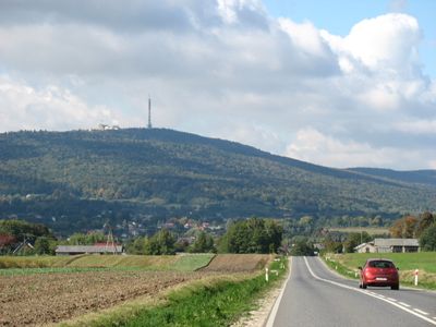
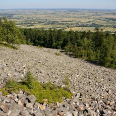
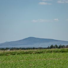
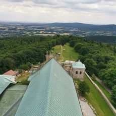
Świętokrzyskie Mountains is a mountain range in central Poland divided into several separate chains, with Łysica as the highest point at 612 meters (2,008 feet). The landscape consists of gentle hills covered in dense forest, rocky ridges, and valleys crossed by streams where traces of ancient erosion are visible.
The range formed during the Caledonian orogeny in the Silurian period over 400 million years ago and was later reshaped by the Hercynian orogeny during the Upper Carboniferous. Ice ages sculpted the valleys and surface rock further, leaving the rounded summits visible today.
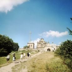
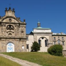
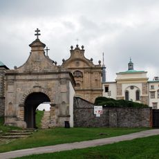
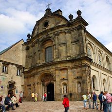
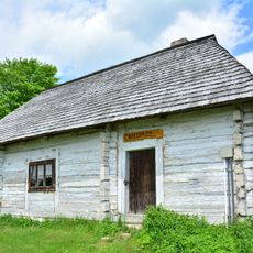
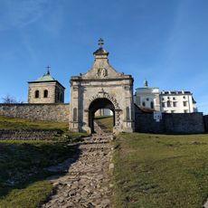
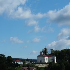
The name refers to relics kept in the Benedictine monastery on the summit of Łysa Góra, which have drawn pilgrims for centuries. Paths wind through old beech forests past chapels and crosses erected by generations of believers, standing quietly now among the trees.
A network of marked hiking trails runs through the protected forest areas, with some routes offering gentle climbs and others featuring steeper sections with rocky terrain. The national park, established in 1950, protects the vegetation and wildlife, so visitors should stay on trails and be prepared for changing weather conditions.
In Zachełmie, fossil footprints of the oldest tetrapods in the world were discovered, dating back 395 million years and documenting a key step in vertebrate evolution. These preserved tracks show that early land vertebrates walked through these areas long before the modern hills took shape.
The community of curious travelers
AroundUs brings together thousands of curated places, local tips, and hidden gems, enriched daily by 60,000 contributors worldwide.