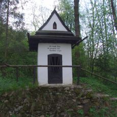
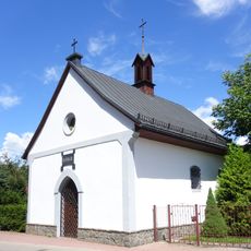
Good Shepherd church in Krościenko nad Dunajcem, Roman Catholic church in Krościenko nad Dunajcem, Poland
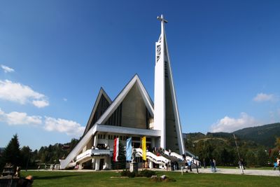
The Good Shepherd Church is a Roman Catholic church with a 64-meter-tall tower located on Sobieskiego Street in Krościenko nad Dunajcem. The interior is split across two levels: the upper level holds the main altar and Saint Kinga chapel, while the lower level serves as a gathering space.
Construction began in 1983 with a cornerstone from Saint Peter's tomb in Rome, blessed by Pope John Paul II during his visit to Poland. The project emerged during a period of religious revival in the country.
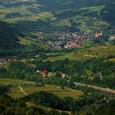
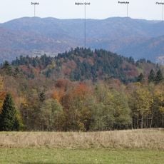
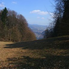
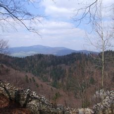
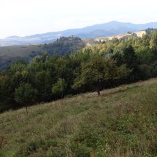
The building was designed as a tribute to the Pieniny Mountains that rise above the valley. The form echoes the landscape and creates a visual dialogue between the structure and its natural surroundings.
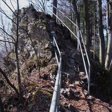
The church is easily accessible from the town center and sits on elevated ground with views toward the surrounding area. It can be visited throughout the year, though warmer months offer better conditions for exploring the location and its immediate surroundings.
The main altar features a figure of Christ the Good Shepherd framed within a monumental gateway that commands attention. The tabernacle was handcrafted in Krakow by Professor Wincenty Kućma, bringing artistic details that reflect local craftsmanship traditions.
The community of curious travelers
AroundUs brings together thousands of curated places, local tips, and hidden gems, enriched daily by 60,000 contributors worldwide.