Makowica, Mountain peak in Beskid Sądecki, Poland.
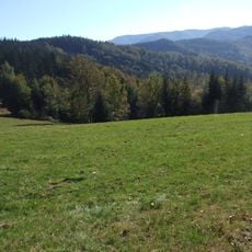
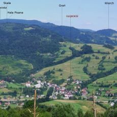
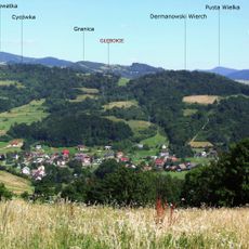
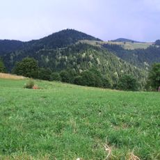
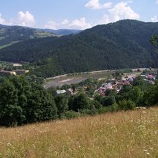
Makowica is a mountain peak in the Jaworzyna Krynicka Range of Beskid Sądecki, standing at 948 meters elevation with forested slopes. The summit descends into valleys formed by Życzanowski Potok and Głęboczanka streams, creating the natural structure of the surrounding landscape.
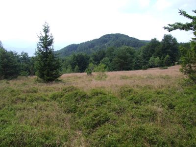
The mountain slopes were managed by local communities for centuries, with hay collected on clearings up to 800 meters in altitude. These open areas gradually transformed into forest as agricultural practices declined over time.
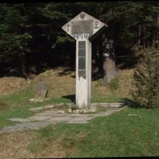
The Schronisko Cyrla on the northeastern slope has become a regular meeting point for hikers using the Main Beskid Trail. This shelter marks a social hub where trekkers naturally gather to rest and share information about their journey.
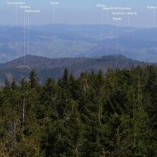
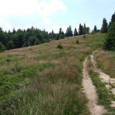
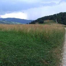
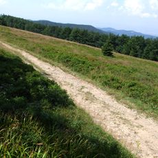
Multiple marked trails connect the peak to surrounding locations, with routes from Barcice through Wola Krogulecka and a green trail starting from Poręba Mała. The paths are generally well-marked and offer varying levels of difficulty for different hiking abilities.
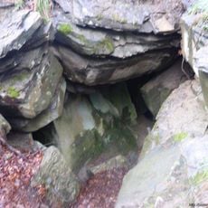
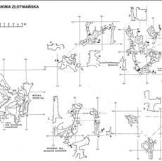
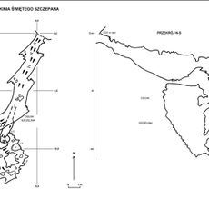
Four caves pockmark the mountain slopes: Sucha Szczelina, Lisia Jama, Jama Brudasów, and Jama pod Cyrlą, each displaying distinct geological features. These caverns attract researchers and adventurous visitors curious about the underground landscape.
The community of curious travelers
AroundUs brings together thousands of curated places, local tips, and hidden gems, enriched daily by 60,000 contributors worldwide.