
Zagroda, przed 1870, nationaal monument in Zakopane, Polen
Location: Zakopane
Address: Kościeliska 37
GPS coordinates: 49.29252,19.94071
Latest update: March 28, 2025 04:40
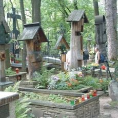
Pęksowy Brzyzek National Cemetery in Zakopane
657 m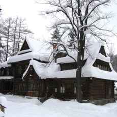
Museum of Zakopane Style at Villa Koliba
254 m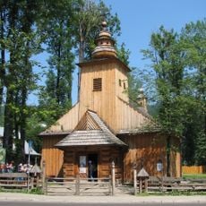
Our Lady of Częstochowa and Saint Clemens church in Zakopane
561 m
Villa Atma
571 m
Synagoga w Zakopanem
599 m
Muzeum Stylu Zakopiańskiego
264 m
Karczma U Wnuka
460 m
Villa Czerwony Dwór in Zakopane
587 m
Chałupa Gąsieniców Sobczaków
284 m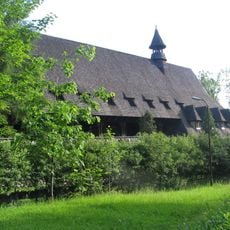
Galerie Pegaz
659 m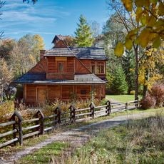
Villa Atma
565 m
Centrum Rozrywki
671 m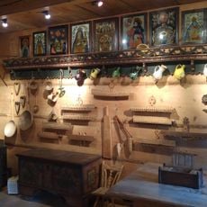
Muzeum Tatrzańskie. Chałupa Gąsieniców Sobczaków
280 m
40 Kościeliska Street in Zakopane
87 m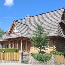
76 Kościeliska Street in Zakopane
609 m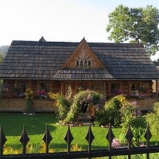
Kościeliska Street in Zakopane
61 m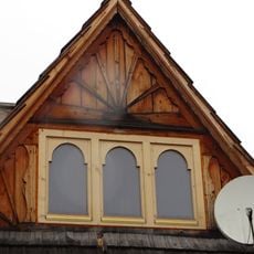
3 Kościeliska Street in Zakopane
614 m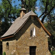
Pęksowy Brzyzek Cemetery Chapel in Zakopane
584 m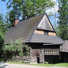
Zagroda
332 m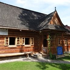
Łukaszczyk's hut in Zakopane
258 m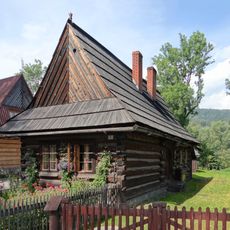
2 Droga do Rojów Street in Zakopane
242 m
78 Kościeliska Street in Zakopane
628 m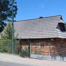
Zagroda
504 m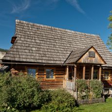
Farmhouse of the Sieczka family in Zakopane
372 m
Zagroda
94 m
Zagroda
144 m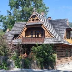
Zagroda
113 m
12 Kościeliska Street in Zakopane
389 mReviews
Visited this place? Tap the stars to rate it and share your experience / photos with the community! Try now! You can cancel it anytime.
Discover hidden gems everywhere you go!
From secret cafés to breathtaking viewpoints, skip the crowded tourist spots and find places that match your style. Our app makes it easy with voice search, smart filtering, route optimization, and insider tips from travelers worldwide. Download now for the complete mobile experience.

A unique approach to discovering new places❞
— Le Figaro
All the places worth exploring❞
— France Info
A tailor-made excursion in just a few clicks❞
— 20 Minutes