
Zagroda, nationaal monument in Zakopane, Polen
Location: Zakopane
Address: Kościeliska 73
GPS coordinates: 49.29033,19.93490
Latest update: March 26, 2025 22:55

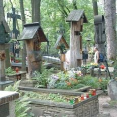
Pęksowy Brzyzek National Cemetery in Zakopane
1.1 km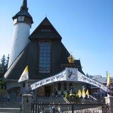
Muttergottes von Fatima
1.1 km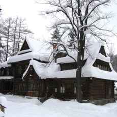
Museum of Zakopane Style at Villa Koliba
729 m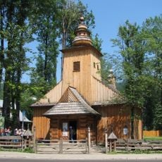
Our Lady of Częstochowa and Saint Clemens church in Zakopane
1 km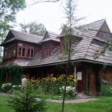
Villa Atma
1 km
Synagoga w Zakopanem
1.1 km
Muzeum Stylu Zakopiańskiego
743 m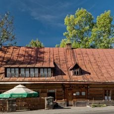
Karczma U Wnuka
942 m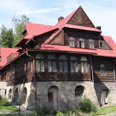
Villa Czerwony Dwór in Zakopane
993 m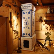
Chałupa Gąsieniców Sobczaków
229 m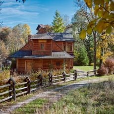
Villa Atma
1 km
Centrum Rozrywki
1.1 km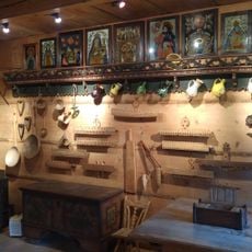
Muzeum Tatrzańskie. Chałupa Gąsieniców Sobczaków
234 m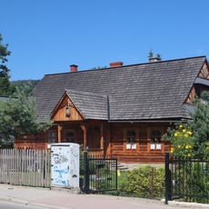
40 Kościeliska Street in Zakopane
425 m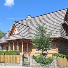
76 Kościeliska Street in Zakopane
125 m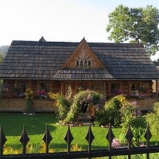
Kościeliska Street in Zakopane
448 m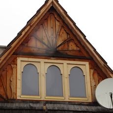
3 Kościeliska Street in Zakopane
1.1 km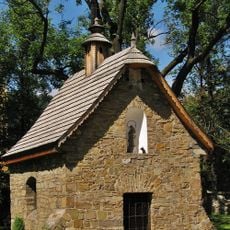
Pęksowy Brzyzek Cemetery Chapel in Zakopane
1.1 km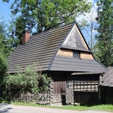
Zagroda
817 m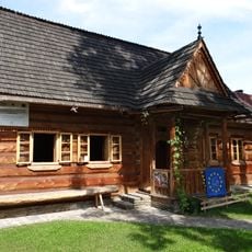
Łukaszczyk's hut in Zakopane
259 m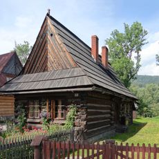
2 Droga do Rojów Street in Zakopane
266 m
78 Kościeliska Street in Zakopane
144 m
Zagroda
33 m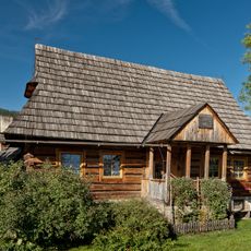
Farmhouse of the Sieczka family in Zakopane
122 m
Zagroda
393 m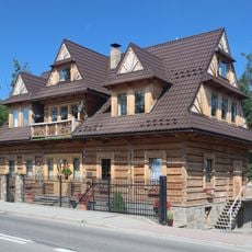
Zagroda
364 m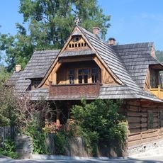
Zagroda
397 m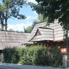
12 Kościeliska Street in Zakopane
871 mReviews
Visited this place? Tap the stars to rate it and share your experience / photos with the community! Try now! You can cancel it anytime.
Discover hidden gems everywhere you go!
From secret cafés to breathtaking viewpoints, skip the crowded tourist spots and find places that match your style. Our app makes it easy with voice search, smart filtering, route optimization, and insider tips from travelers worldwide. Download now for the complete mobile experience.

A unique approach to discovering new places❞
— Le Figaro
All the places worth exploring❞
— France Info
A tailor-made excursion in just a few clicks❞
— 20 Minutes