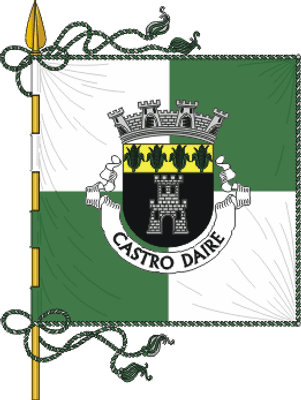
Castro Daire, municipality and town of Portugal
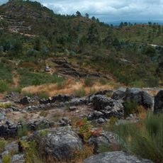
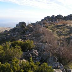
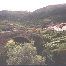
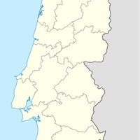
Castro Daire is a small town in the Viseu region of Portugal, situated on a hillside with simple buildings and quiet streets. The surrounding landscape features green fields, forests, and nearby mountain ranges including Serra do Montemuro and the Rio Paiva valley.
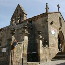
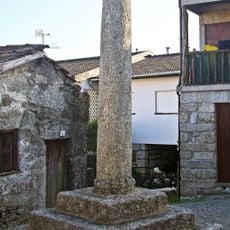
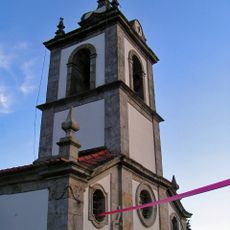
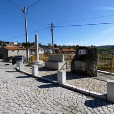
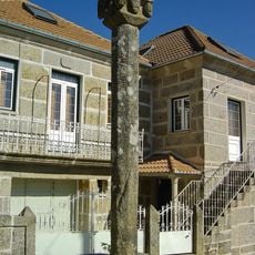
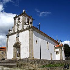
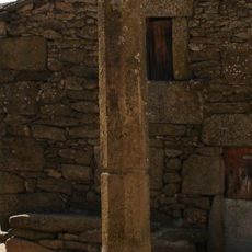
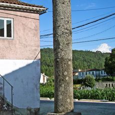
Castro Daire has roots in prehistoric times, with surviving structures from the 18th century including the neoclassical Igreja Matriz church. The Pelourinho monument and historic manor houses reflect its past role as an administrative center for the region.
Castro Daire maintains traditional crafts and rural customs in its surrounding villages, where wool weaving and ceramic work continue alongside farming practices. The community gathers for local celebrations with music and food, reflecting the importance of shared traditions and family bonds in daily life.
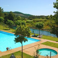
The town is accessible by car or bicycle, located roughly 1.5 hours from Porto by road. Accommodation consists of simple guesthouses rather than large hotels, so visitors should plan lodging in advance given limited public transportation options.
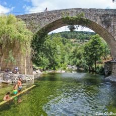
Every August the town holds large religious celebrations honoring Nossa Senhora da Soledade with traditional ceremonies and gatherings. The Pombeira waterfalls and Pico do Talegre offer surprisingly dramatic natural scenery in this otherwise quiet region.
The community of curious travelers
AroundUs brings together thousands of curated places, local tips, and hidden gems, enriched daily by 60,000 contributors worldwide.