Arruda dos Vinhos, municipality and town of Portugal
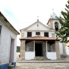
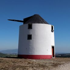
Arruda dos Vinhos is a small town in the Oeste region near Lisbon that sits across gentle hills with vineyards covering the surrounding slopes. The center features narrow old streets, traditional buildings, and local shops, while the countryside extends outward with fields and cultivated land.
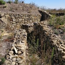
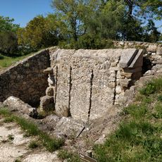
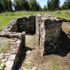
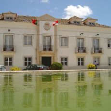
The town first appears in records from 1172 when King Afonso Henriques donated the castle to the Order of Santiago for regional defense and control. After the 18th-century earthquake, the town was rebuilt and a Pombaline-style fountain was constructed, which still stands today.
Wine production has shaped life here for generations, and the people continue to grow grapes on the sunny hills surrounding the town. This tradition remains central to local identity and how residents understand their connection to the land.
The town is easily reached from Lisbon by car or bus and works well as a day trip from the city. It is best explored on foot by walking through the streets and talking with local people, who are happy to share their stories about wine, the land, and local history.
In 1910, shortly after the Republic was proclaimed, residents destroyed the crown atop the main fountain as a show of defiance against the monarchy. This local act of protest reveals how ordinary people participated in the major political changes of the time.
The community of curious travelers
AroundUs brings together thousands of curated places, local tips, and hidden gems, enriched daily by 60,000 contributors worldwide.