
Santo Antão do Tojal, locality and former civil parish in Portugal
Location: Santo Antão e São Julião do Tojal
GPS coordinates: 38.85361,-9.14306
Latest update: March 9, 2025 08:57
Palácio do Correio-Mor
4.6 km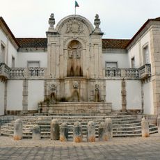
Palácio dos Arcebispos
317 m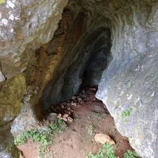
Cave of Pego do Diabo
6.6 km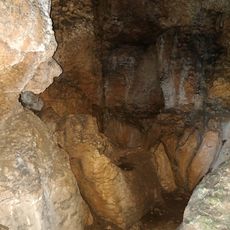
Cave of Salemas
5.8 km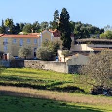
Conventinho Farm
4.1 km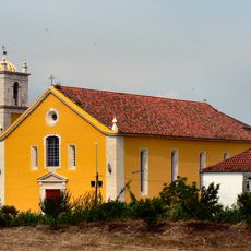
Igreja matriz de Loures
3.9 km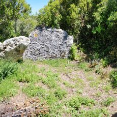
Anta da Toupeira
5.7 km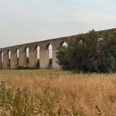
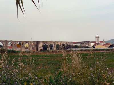
Aqueduto dos Arcos
597 m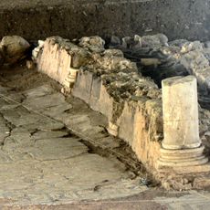
Roman villa of Frielas
3 km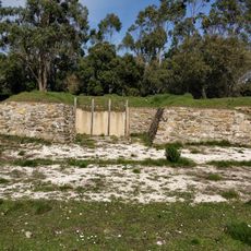
Forte do Mosqueiro
6.1 km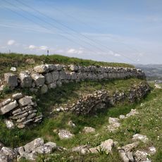
Reduto do Freixal Alto
4.9 km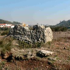
Monumento Megalítico de Casaínhos
3.8 km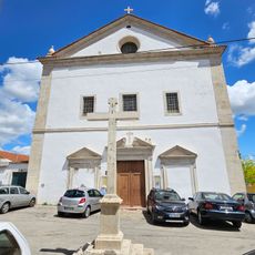
Igreja de São Silvestre de Unhos
3.4 km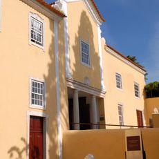
Municipal museum of Loures
4.1 km
Viera da Silva Municipal Gallery
3.5 km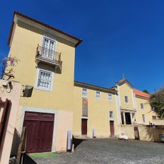
Casa e Quinta do Conventinho
4.1 km
Câmara Municipal de Loures
3.4 km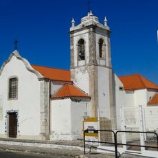
Igreja de São Julião do Tojal
1.1 km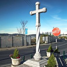
Cruzeiro Manuelino da Cruz da Pedra
3.7 km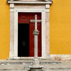
Cruzeiro de Loures
3.9 km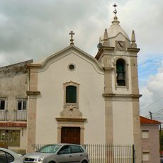
Igreja Matriz de Fanhões
3.3 km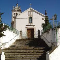
Igreja de São Pedro
6.8 km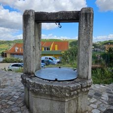
Poço da Quinta da Calçada
3.7 km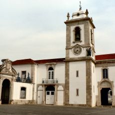
Igreja Matriz de Santo Antão do Tojal
330 m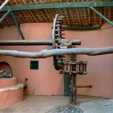
Casa do Adro
4 km
Cruzeiro de Unhos
3.4 km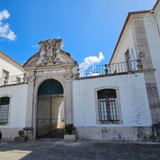
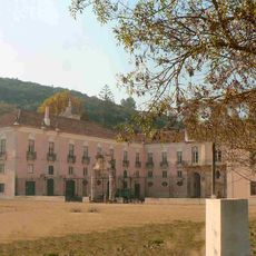
Palácio da Mitra
316 m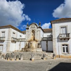
Palácio Fonte Monumental
279 mReviews
Visited this place? Tap the stars to rate it and share your experience / photos with the community! Try now! You can cancel it anytime.
Discover hidden gems everywhere you go!
From secret cafés to breathtaking viewpoints, skip the crowded tourist spots and find places that match your style. Our app makes it easy with voice search, smart filtering, route optimization, and insider tips from travelers worldwide. Download now for the complete mobile experience.

A unique approach to discovering new places❞
— Le Figaro
All the places worth exploring❞
— France Info
A tailor-made excursion in just a few clicks❞
— 20 Minutes