Campo Maior

Log in to your account

AroundUs is a community-driven map of interesting places, built by curious explorers like you. It grows with every review, story, and photo you share.
Connect to save your favorite spots, contribute locations, and create personalized routes.
Continue with Google
Continue with Apple
Continue with X
Continue with Facebook
Continue with email
By continuing, you accept our Terms and Conditions and our Privacy Policy
Create an account
Add to collection
Map
Suggest a change
Share

Campo Maior, municipality of Portugal

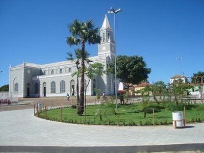
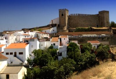
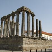
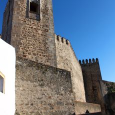
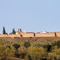
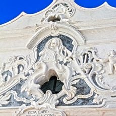
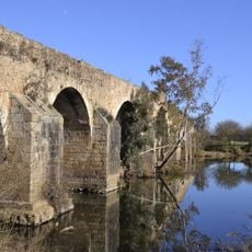
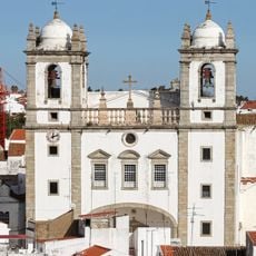
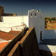
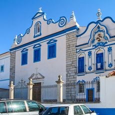
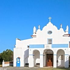
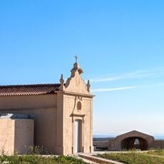
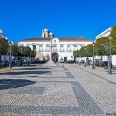
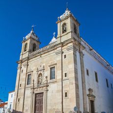
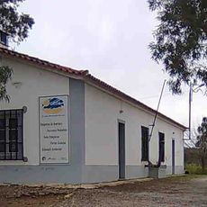
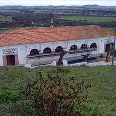
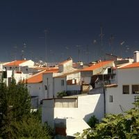
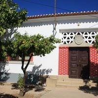
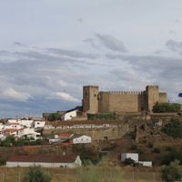
Campo Maior is a small town in Upper Alentejo within Portalegre district, located near the Portuguese-Spanish border in a rural landscape. The center features narrow streets lined with whitewashed houses, historical sites including a castle, the Mother Church built in 1646, and the unusual Chapel of Bones constructed from human remains.

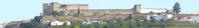
The town held strategic importance for defending Portugal's border and became Portuguese territory through the 1297 Treaty of Alcanizel. A major explosion in the castle's ammunition storage in 1732 devastated the town and killed many residents, an event commemorated by the Chapel of Bones that still stands today.

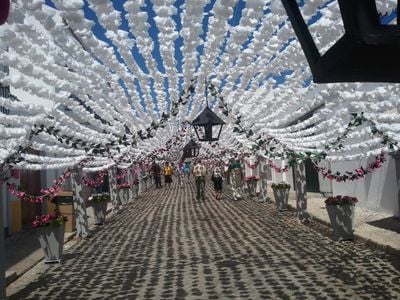
The name means 'Greater Field', reflecting the agricultural roots that still shape daily life today. Locals take pride in their traditions, especially during the annual Festa do Povo festival when streets fill with hundreds of paper flowers and residents dress in colorful costumes to celebrate together.

The town is easily reached by car or bus and sits close to larger cities, making it a practical day trip destination. Most sites of interest are in the center and walkable on foot, with narrow streets that are simple to navigate through.

The Chapel of Bones is one of Portugal's most unusual religious sites, a small chapel whose interior walls are decorated with human skulls and bones. Recent research suggests the remains came from a local churchyard and served as a memorial to victims of the devastating 1732 explosion.

Location: Upper Alentejo

Location: Portalegre

Inception: January 1, 1260

Shares border with: Elvas, Arronches, Alburquerque, Badajoz

Phone: +351268680300

Website: https://cm-campo-maior.pt

GPS coordinates: 39.01500,-7.06833

Latest update: January 20, 2026 15:19

Photos
Alentejo: historical sites, fortified villages and natural landscapes of Portugal

Alentejo extends south of Lisbon over a wide land of golden plains, hills covered with olive trees and cork oaks. This region shows signs of many civilizations: Roman ruins in Evora, medieval castles over the valleys, and white villages clinging to rocky tops like Monsaraz or Marvão. Towns keep...

Reviews

Visited this place? Tap the stars to rate it and share your experience / photos with the community! Try now! You can cancel it anytime.

« Campo Maior - municipality of Portugal » is provided by Around Us (aroundus.com). Images and texts are derived from Wikimedia project under a Creative Commons license. You are allowed to copy, distribute, and modify copies of this page, under the conditions set by the license, as long as this note is clearly visible.

Discover hidden gems everywhere you go!

From secret cafés to breathtaking viewpoints, skip the crowded tourist spots and find places that match your style. Our app makes it easy with voice search, smart filtering, route optimization, and insider tips from travelers worldwide. Download now for the complete mobile experience.

Around Us App Screenshot

A unique approach to discovering new places

Le Figaro

All the places worth exploring

France Info

A tailor-made excursion in just a few clicks

20 Minutes