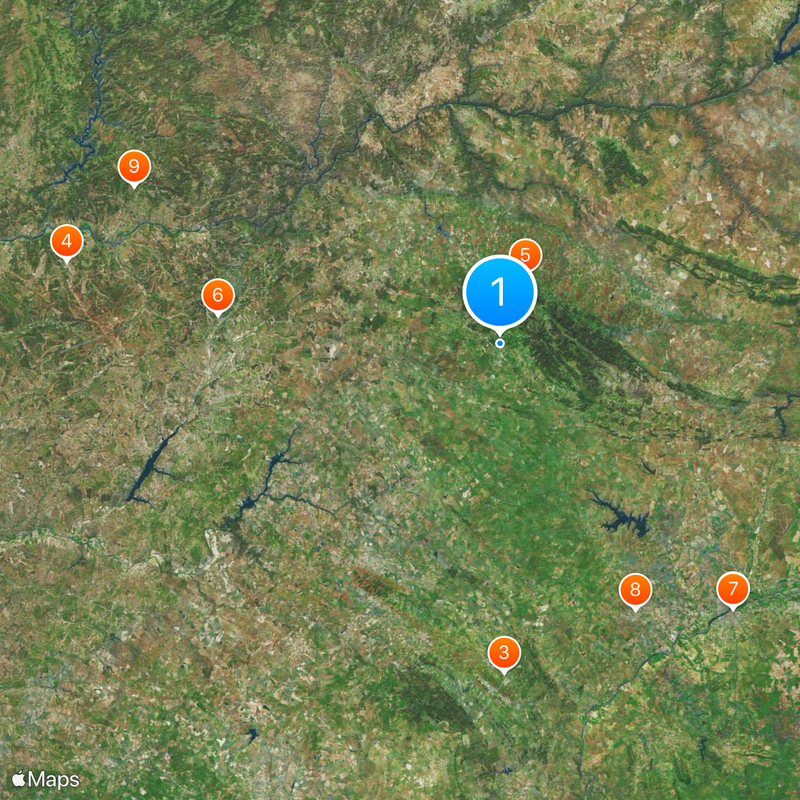
Portalegre, Administrative district in eastern Alentejo, Portugal.
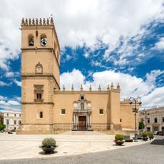
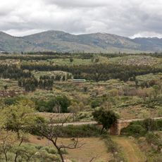
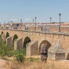
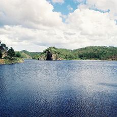
Portalegre is an administrative district in eastern Alentejo with varied terrain ranging from flat plains to the Serra de São Mamede mountains. The district encompasses fifteen municipalities including Elvas, Marvão, and Campo Maior, with the city of Portalegre serving as the regional administrative center.
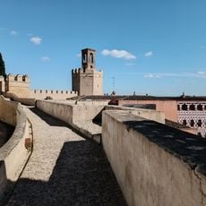
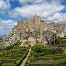
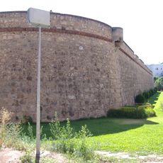
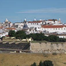
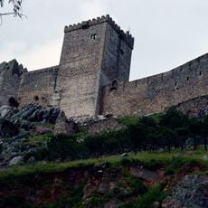
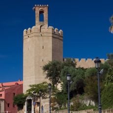
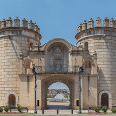
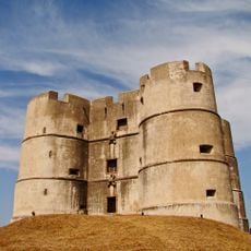
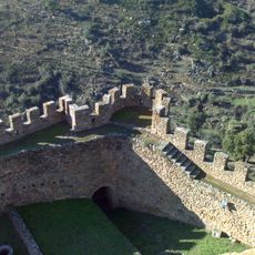
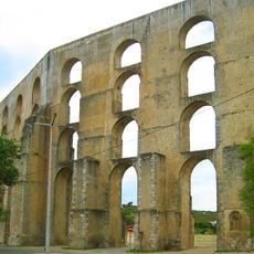
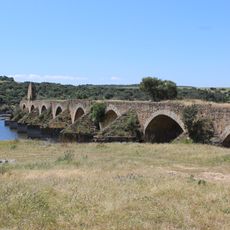
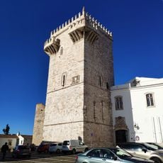
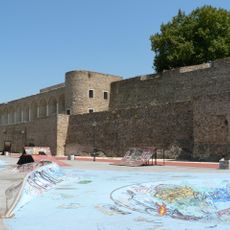
The region received its first municipal charter in 1259 from King Afonso III, who initiated fortification construction to protect this border territory. This early royal support shaped the area's development as a strategic frontier region between Portugal and Spain.
The region is known for its tapestry weaving, a craft passed down through generations in local workshops that keeps the tradition alive. Visitors can watch artisans working traditional patterns on looms and purchase finished pieces directly from the makers.
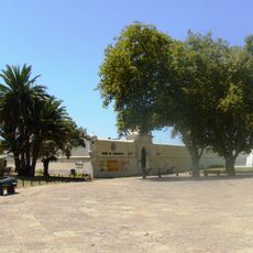
The district is easy to explore by car and offers access to varied landscapes and medieval settlements throughout the region. Plan to spend several days to properly see the different municipalities and their landmarks such as castles and fortifications.
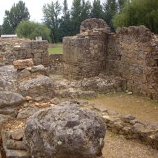
The Meada menhir near Nossa Senhora da Alegria chapel stands at 23 feet (7 meters) tall, making it the highest prehistoric stone monument in the Iberian Peninsula. This remarkable structure dates to the Neolithic period and remains a rare testament to that distant past that researchers continue to study.
The community of curious travelers
AroundUs brings together thousands of curated places, local tips, and hidden gems, enriched daily by 60,000 contributors worldwide.