
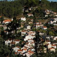
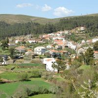
Oleiros, municipality and town of Portugal
Location: Castelo Branco
Location: Beira Baixa Subregion
Website: http://www.cm-oleiros.pt/
Shares border with: Sertã, Fundão, Castelo Branco, Proença-a-Nova, Pampilhosa da Serra
Website: http://cm-oleiros.pt
GPS coordinates: 39.91667,-7.91667
Latest update: March 31, 2025 17:20
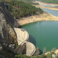
Santa Luzia Dam
19.9 km
Praia Fluvial de Fróia
15.7 km
Praia Fluvial da Pampilhosa da Serra
14.8 km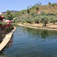
Praia Fluvial de Alvito da Beira
14.4 km
Praia Fluvial do Malhadal
13.6 km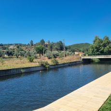
Praia Fluvial Aldeia Ruiva
17.4 km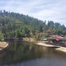
Praia Fluvial do Troviscal
10 km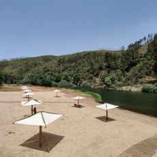
Praia Fluvial de Janeiro de Baixo
17.5 km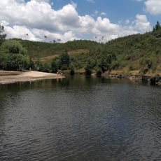
Praia Fluvial da Couca - Cerejeira
18.3 km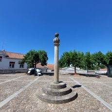
Pillory of Pedrógão Pequeno
18.5 km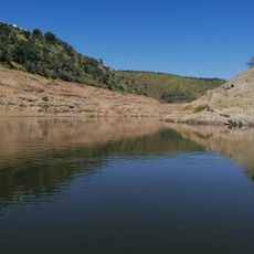
Praia Fluvial de Álvaro
7.8 km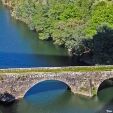
Ponte do Cabril
19.1 km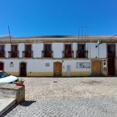
Edifício na Rua Eduardo Conceição e Silva, n.º 89-99
18.5 km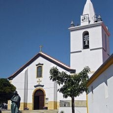
Igreja Paroquial de Proença-a-Nova
18.5 km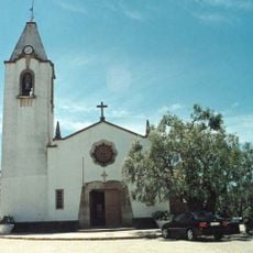
Igreja Matriz de Montes da Senhora
18.3 km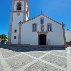
Igreja Matriz de Pedrogão Pequeno
18.4 km
Igreja de Nossa Senhora da Conceição, matriz de Oleiros
274 m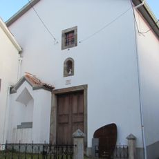
Igreja da Misericórdia de Oleiros
237 m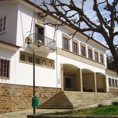
Câmara Municipal de Pampilhosa da Serra
14.7 km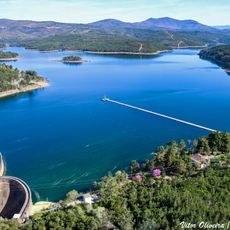
Santa Luzia Reservoir
21.9 km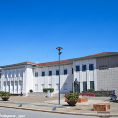
Câmara Municipal de Oleiros
347 m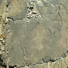
Estação de arte rupestre da Fechadura
9.1 km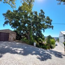
Árvore isolada em Av. Sá Carneiro
19.3 km
Casa da Criança
19.4 km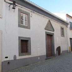
Capela de Nossa Senhora Mãe dos Homens
354 m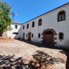
Museu Pedro Cruz
19.3 km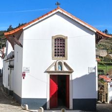
Capela da Misericórdia de Álvaro
7.8 km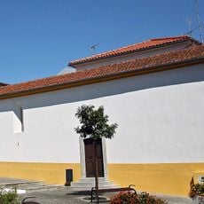
Capela da Misericórdia de Proença-a-Nova
18.5 kmReviews
Visited this place? Tap the stars to rate it and share your experience / photos with the community! Try now! You can cancel it anytime.

Discover hidden gems everywhere you go!
From secret cafés to breathtaking viewpoints, skip the crowded tourist spots and find places that match your style. Our app makes it easy with voice search, smart filtering, route optimization, and insider tips from travelers worldwide. Download now for the complete mobile experience.

A unique approach to discovering new places❞
— Le Figaro
All the places worth exploring❞
— France Info
A tailor-made excursion in just a few clicks❞
— 20 Minutes