Marco de Canaveses
Marco de Canaveses, Municipality in Porto District, Portugal
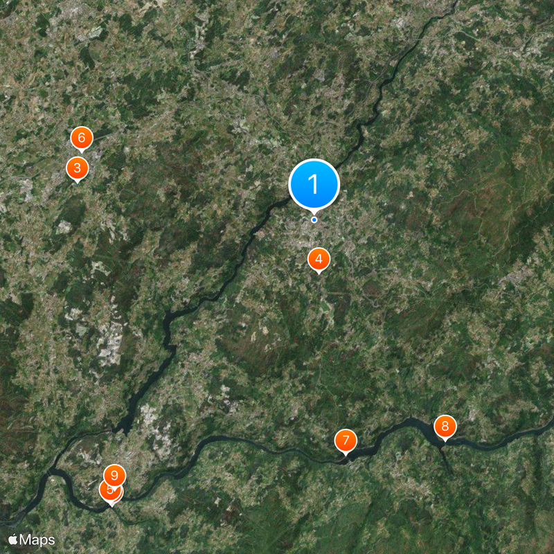
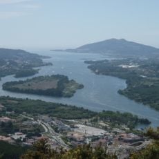
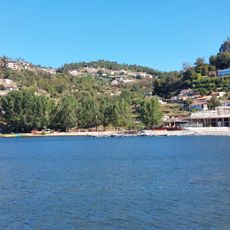
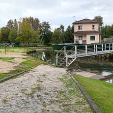
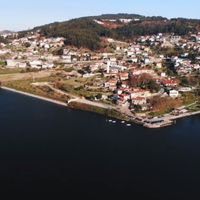
Marco de Canaveses is a municipality in Porto District with diverse terrain and elevations between 200 and 600 meters. Two major rivers, the Douro and Tâmega, form natural boundaries and are used through dams that provide recreation and water resources.
The municipality was established in 1852 from several parishes and developed into an important administrative center in the Tâmega e Sousa subregion. This administrative structuring was followed by increasing economic ties with the surrounding area.
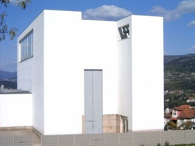
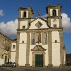
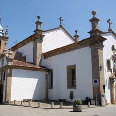
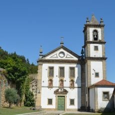
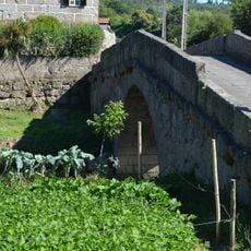
The area contains several Romanesque churches and civil monuments that reflect centuries of Portuguese architectural tradition, discoverable through themed routes. These buildings shape the appearance of local settlements today and show how communities have preserved their heritage.
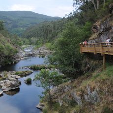
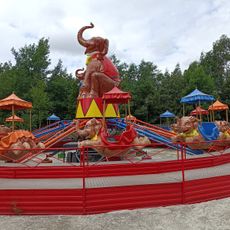
The area is easily accessible and invites exploration along river landscapes and through the settlements. Visitors find the best conditions during warmer months, when the reservoirs and surrounding paths are pleasant to explore.
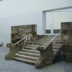
The ruins of the ancient Roman city of Tongobriga lie within the municipality and contain archaeological remains from over two millennia ago. This archaeological site offers insight into early human settlement in this region.
Location: Porto
Location: Tâmega e Sousa subregion
Inception: 1852
Shares border with: Baião, Penafiel, Amarante, Cinfães, Castelo de Paiva
Website: https://cm-marco-canaveses.pt
GPS coordinates: 41.18333,-8.15000
Latest update: December 20, 2025 02:39
Paiva River
16.1 km
Magikland
11 km
Área Arqueológica do Freixo
2.4 km
Ilha dos Amores
16.1 km
Estádio Municipal 25 de Abril
11.2 kmSchleuse Carrapatelo
10.9 km
Mosteirô Bridge
11.8 km
Praia Fluvial de Bitetos
15.4 km
Mosteiro de Bustelo
11.3 km
Anta de Santa Marta
9.1 km
Museu Municipal de Penafiel
11.4 km
Church of the Santa Casa da Misericórdia (Penafiel)
11.5 km
Santa Marta
9.7 km
Igreja de São Gens de Boelhe
9.4 km
Igreja e Mosteiro de Santo André de Ancede, Capela do Bom Despacho e terreiro fronteiro
12 km
Igreja de Vila Boa do Bispo
8.3 km
Ponte do Arco
6.7 km
Menir de Luzim
9.8 km
Mosteiro de Alpendurada, incluindo a igreja e a sacristia
13.4 km
Parque Aquático de Amarante
8.2 km
Igreja de Vila Boa de Quires
5.1 km
Igreja de São Pedro (Abragão)
6.7 km
Câmara Municipal de Real
7.6 km
Igreja Paroquial de Real
8.2 km
Igreja de Gândara
12.3 km
Ponte de Espindo
12.3 km
Mosteiro de Vila Boa do Bispo
8.3 km
Praia Fluvial de Real
7.3 kmVisited this place? Tap the stars to rate it and share your experience / photos with the community! Try now! You can cancel it anytime.
Banho e Carvalhosa
Constance
Soalhães
Vila Boa do Bispo
Tabuado
Sobretâmega
Bem Viver
Alpendorada, Várzea e Torrão
Avessadas e Rosém
Marco
Paredes de Viadores e Manhuncelos
Penhalonga e Paços de Gaiolo
Sande e São Lourenço do Douro
Santo Isidoro e Livração
Várzea, Aliviada e Folhada
Vila Boa de Quires e Maureles
Discover hidden gems everywhere you go!
From secret cafés to breathtaking viewpoints, skip the crowded tourist spots and find places that match your style. Our app makes it easy with voice search, smart filtering, route optimization, and insider tips from travelers worldwide. Download now for the complete mobile experience.
A unique approach to discovering new places❞
— Le Figaro
All the places worth exploring❞
— France Info
A tailor-made excursion in just a few clicks❞
— 20 Minutes