Paiva River, Protected river system in Norte and Centro regions, Portugal
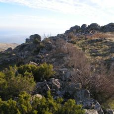
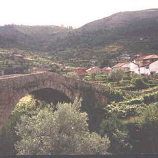
The Paiva is a river in northern and central Portugal, rising in the Serra de Arada and flowing through the districts of Viseu and Aveiro before joining the Douro. Its course runs through highlands, narrow gorges, and open valleys, making it one of the most varied river landscapes in this part of the country.
The Paiva and its surroundings were officially designated as a Natura 2000 site and site of community importance in 2000, formalizing their protected status. Before that, the river valley had remained largely undisturbed because the difficult terrain limited large-scale human activity along its banks.
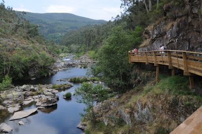
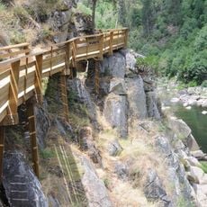
The Paiva is known for the Passadiços do Paiva, a wooden boardwalk that runs along the riverbank and lets visitors walk through the valley at water level. Along the route, there are rest spots where people stop to watch the water and listen to the sounds of the river.
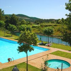
The river is accessible year-round, but water-based activities tend to be more popular in autumn and winter when levels are higher. Sturdy footwear is a good idea for the riverside paths, as the ground can be uneven in several sections.
The Paiva is one of the few rivers on the Iberian Peninsula where Atlantic salmon can still be found, thanks to its water quality and largely unaltered course. This makes it a reference point for researchers studying freshwater ecosystems in Portugal.
The community of curious travelers
AroundUs brings together thousands of curated places, local tips, and hidden gems, enriched daily by 60,000 contributors worldwide.