Lines of Torres Vedras, Military fortification system north of Lisbon, Portugal
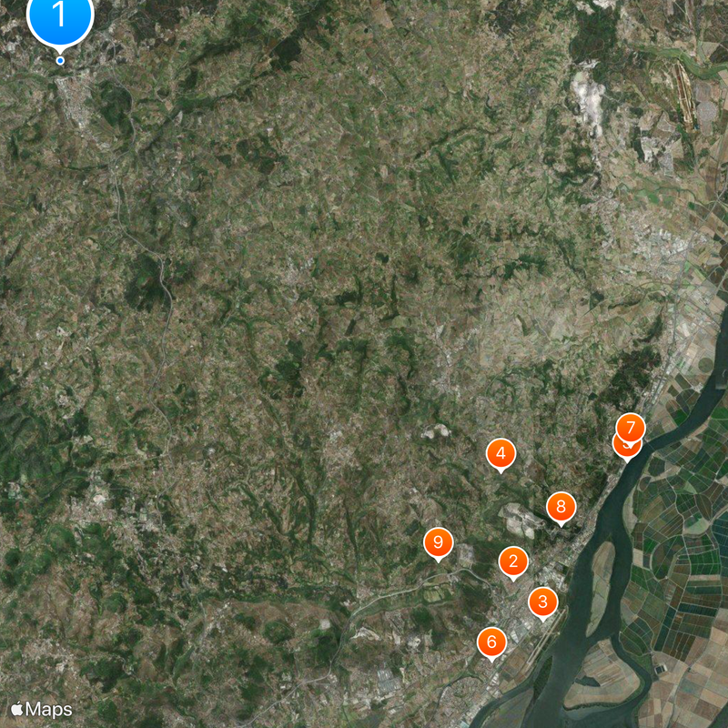
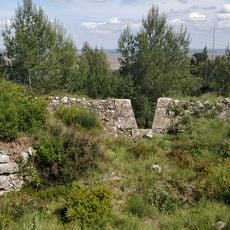
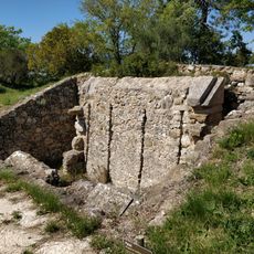
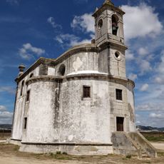
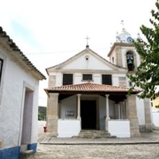
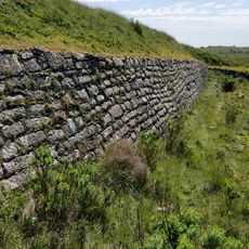
The Lines of Torres Vedras are a fortification system north of Lisbon in Portugal. The defensive lines consist of three parallel rows of forts, watchtowers and earthworks that spread across hills and valleys between the Atlantic coast and the Tagus River.
The British army built the fortifications starting in 1809 under the direction of the Duke of Wellington to protect the Portuguese capital from Napoleonic troops. French forces reached the lines in October 1810 but withdrew after a month without attempting a serious assault.
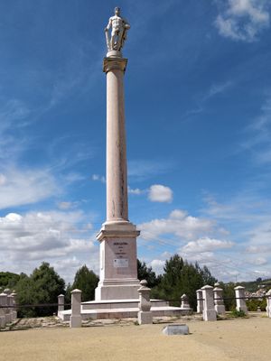
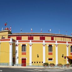
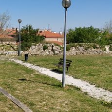
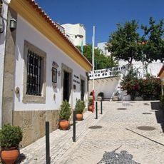
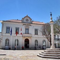
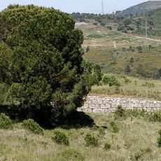
The name comes from Torres Vedras, a small town at the heart of the second defensive ring that gave the entire fortification network its identity. Today locals use walking routes along the former military positions, with many of the forts and towers embedded in countryside where farms and vineyards now surround the old stone walls.
Walking trails connect many of the forts and provide orientation across the terrain, with some sections passing over steep slopes and unpaved paths. A visit requires sturdy footwear and patience, as the installations are spread across a wide area and not all locations are easily accessible.
Workers used signal telegraphs between towers to relay messages along the entire defensive line within minutes. Many forts were positioned to create sightlines with each other, allowing constant communication across the hills.
The community of curious travelers
AroundUs brings together thousands of curated places, local tips, and hidden gems, enriched daily by 60,000 contributors worldwide.