Enable Location

We need your location to show you interesting places around you

Discover nearby places

Find interesting locations and hidden gems around you

Precise directions

Get accurate directions and distances to places

Your location is never shared with other users. It's only used when you tap the location button.

Barreiro

Log in to your account

Start exploring — it's free

Trusted by 62,562 travelers worldwide

Continue with Google
Continue with Apple
or

We will send you a code to connect

By continuing, you accept our Terms and Conditions and our Privacy Policy

Check your inbox

We've sent a pincode in your inbox. Please enter the code below.

Barreiro, Industrial port municipality in Setúbal District, Portugal

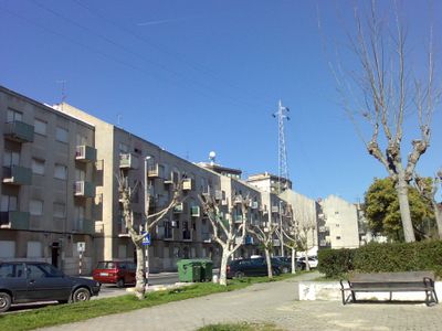
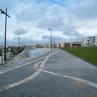
Barreiro is a port town on the southern bank of the Tagus River, situated directly across from Lisbon. The municipality spreads across several neighborhoods that blend industrial areas with residential zones along the waterfront.

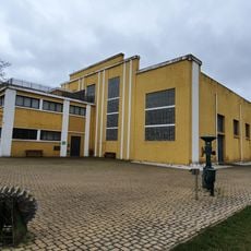
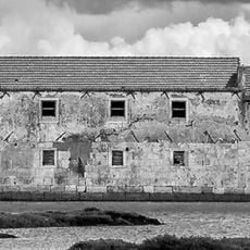
The settlement started as a 13th-century village under the control of a military religious order. It gained town status in 1521 and grew into an important industrial center in later centuries.

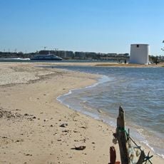
The ferry connection to Lisbon shapes how people move between two shores, making the river crossing part of daily routines for many. The waterfront remains a gathering place where residents experience their location as a bridge between two cities.

The easiest way to reach the city is by ferry from Lisbon, offering a quick crossing over the river. The ferry terminal is centrally located, making it simple to explore the main areas on foot after arrival.

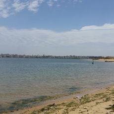
The Alburrica waterfront neighborhood offers unobstructed views of Lisbon's skyline across the river. This proximity to a major capital while remaining on the opposite shore gives the place an unusual position where two worlds meet.

The community of curious travelers

AroundUs brings together thousands of curated places, local tips, and hidden gems, enriched daily by 60,000 contributors worldwide.

Start exploring
Location
Inception
January 1, 1521
Elevation above the sea
20 m
Shares border with
Seixal, Sesimbra, Setúbal, Palmela, Moita, Montijo
GPS coordinates
38.66089,-9.07328
Latest update
December 20, 2025 02:32
« Barreiro - Industrial port municipality in Setúbal District, Portugal » is provided by Around Us (aroundus.com). Images and texts are derived from Wikimedia project under a Creative Commons license. You are allowed to copy, distribute, and modify copies of this page, under the conditions set by the license, as long as this note is clearly visible.

Discover hidden gems everywhere you go!

From secret cafés to breathtaking viewpoints, skip the crowded tourist spots and find places that match your style. Our app makes it easy with voice search, smart filtering, route optimization, and insider tips from travelers worldwide. Download now for the complete mobile experience.

Around Us App Screenshot

A unique approach to discovering new places

Le Figaro

All the places worth exploring

France Info

A tailor-made excursion in just a few clicks

20 Minutes

Around Us
Travel Guide & Maps
Download

Send to your phone

QR Code
1

Open the camera app on your mobile.

2

Point at the QR code with your camera. A notification will appear.

3

Tap the notification to open the link.