Lisbon metropolitan area, Metropolitan region near Atlantic coast, Portugal
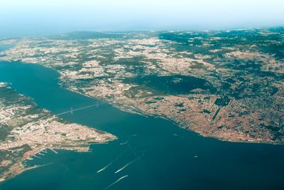
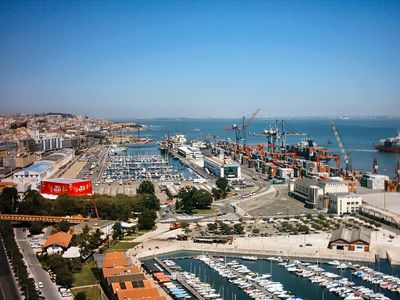
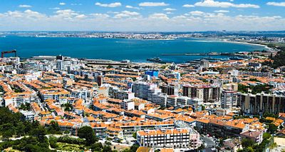
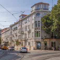
The Lisbon metropolitan area is a Portuguese administrative region along the Atlantic coast comprising eighteen municipalities stretching from the Tagus River to the Setúbal Peninsula. It includes urban centers, coastal strips, natural parks, and rural zones connected through a shared network of infrastructure.
This administrative structure emerged through regional planning reforms in the early 1990s following Portugal's entry into the European community. The reorganization grouped traditional districts under a functional framework for coordinated development and resource allocation.
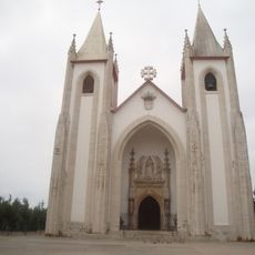
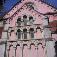
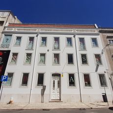
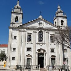
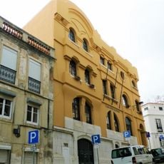
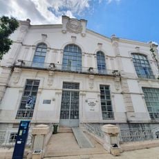
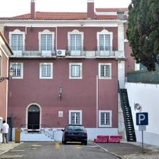
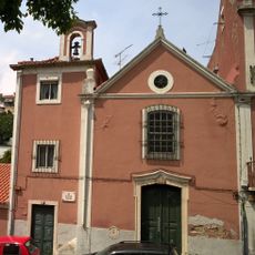
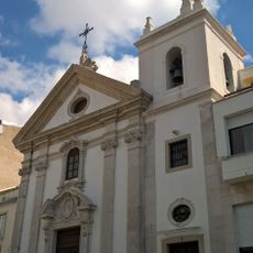
The region contains numerous theaters, music venues, and museums, while Fado music performances occur regularly in traditional neighborhoods across different municipalities.
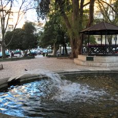
Visitors often move between several municipalities during a stay using trains, ferries, or buses to reach coastal towns, natural areas, and urban centers. Each municipality has its own service centers, markets, and local contact points that help with orientation on the ground.
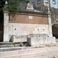
The region administers two major river estuaries, the Tagus and the Sado, which create different ecosystems and coastal patterns on northern and southern banks. This geography influences local economic activities from fishing to salt harvesting that have continued for centuries.
Location: Alcochete
Shares border with: Alentejo Central, Alentejo Litoral Subregion, Lezíria do Tejo Subregion, Oeste Subregion
Website: https://aml.pt
GPS coordinates: 38.71667,-9.16667
Latest update: December 13, 2025 16:16
Estrela Basilica
648 m
Prazeres Cemetery
412 m
Jardim da Estrela
694 m
Igreja do Santo Condestável
156 m
Casa Fernando Pessoa
366 m
Saint George's Church
541 m
Tapada das Necessidades
870 m
Mercado de Campo de Ourique
59 m
Biblioteca da Casa Fernando Pessoa
367 m
Jardim da Parada
186 m
Pedro Álvares Cabral Monument
709 m
João de Deus Museum
734 m
Cemitério Alemão
303 m
Conjunto habitacional na Avenida Infante Santo
750 m
Jardim 5 de Outubro
690 m
Igreja de Santa Isabel
748 m
Casa dos Açores
850 m
Pátio das Barracas
276 m
Escola Industrial Machado de Castro
592 m
Igreja e antigo Convento de Nossa Senhora da Estrela, actual Hospital Militar Principal
762 m
Núcleo de génese pombalina do Quartel de Campo de Ourique
465 m
Chafariz da Fonte Santa
487 m
Ermida do Senhor Jesus dos Terramotos
571 m
Igreja de Nossa Senhora das Dores (Lisboa)
410 m
Chafariz das Terras
879 m
Chafariz do Alto do Carvalhão
838 m
Prédio na Rua Saraiva de Carvalho, 242-246
243 m
Geomonumento da Rua Sampaio Bruno
261 mVisited this place? Tap the stars to rate it and share your experience / photos with the community! Try now! You can cancel it anytime.
Discover hidden gems everywhere you go!
From secret cafés to breathtaking viewpoints, skip the crowded tourist spots and find places that match your style. Our app makes it easy with voice search, smart filtering, route optimization, and insider tips from travelers worldwide. Download now for the complete mobile experience.
A unique approach to discovering new places❞
— Le Figaro
All the places worth exploring❞
— France Info
A tailor-made excursion in just a few clicks❞
— 20 Minutes