Enable Location

We need your location to show you interesting places around you

Discover nearby places

Find interesting locations and hidden gems around you

Precise directions

Get accurate directions and distances to places

Your location is never shared with other users. It's only used when you tap the location button.

Felgueiras

Log in to your account

Start exploring — it's free

Trusted by 61,676 travelers worldwide

Continue with Google
Continue with Apple
or

We will send you a code to connect

By continuing, you accept our Terms and Conditions and our Privacy Policy

Check your inbox

We've sent a pincode in your inbox. Please enter the code below.

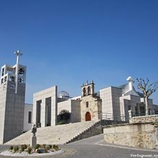
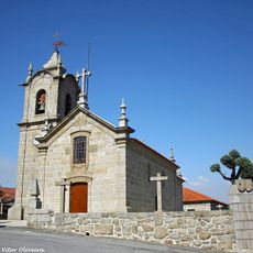
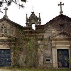
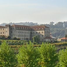
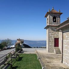
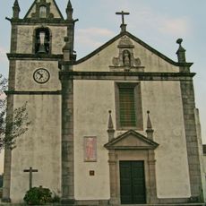
Felgueiras, municipality and city in Portugal

Description

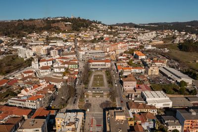
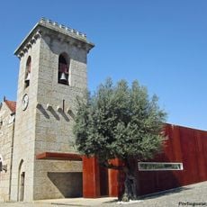
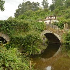
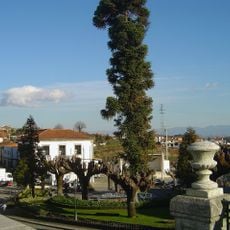
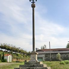
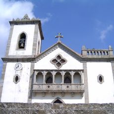
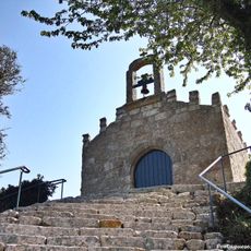
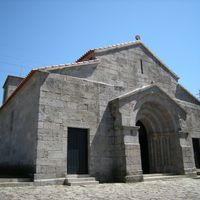
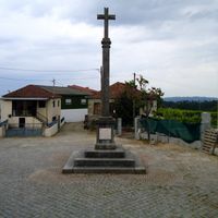
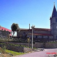
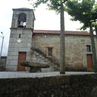
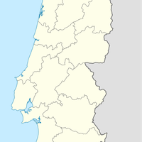
Felgueiras is a municipality in the Porto, Tâmega e Sousa subregion in northern Portugal. The city spreads across an area with mixed landscapes where industry and rural areas coexist, shaped by the Sousa River that runs through it.

History

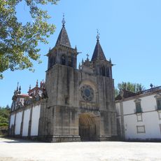
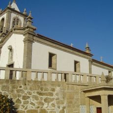
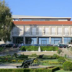
The town has roots in the medieval period when it was established as an administrative center. During industrialization, the region developed into a production hub, shaping its structure and economic role through to today.

Practical

The location is accessible by public transport with regular bus connections to nearby cities like Porto. The best time to explore is in spring or fall when weather is mild and visitor crowds are smaller.

Location
Shares border with
Lousada, Amarante, Fafe, Celorico de Basto, Vizela, Guimarães
GPS coordinates
41.36667,-8.20000
Latest update
December 20, 2025 16:16

AroundUs brings together thousands of curated places, local tips, and hidden gems, enriched daily by 60,000 contributors worldwide. Discover all places nearby (Porto).

Around this place
Monastery of Santa Maria de Pombeiro
Portugal

Monastery of Santa Maria de Pombeiro

2.8 km
Santuário de Nossa Senhora da Aparecida
Portugal

Santuário de Nossa Senhora da Aparecida

8.5 km
Mosteiro de Travanca
Portugal

Mosteiro de Travanca

9.9 km
Torre de Vilar
Portugal

Torre de Vilar

8.8 km
Igreja de Santa Maria de Airães
Portugal

Igreja de Santa Maria de Airães

5.8 km
Roman Villa of Sendim
Portugal

Roman Villa of Sendim

4.2 km
Igreja de São Salvador de Unhão
Portugal

Igreja de São Salvador de Unhão

6.8 km
Igreja de São Mamede de Vila Verde
Portugal

Igreja de São Mamede de Vila Verde

7 km
Igreja românica de Telões
Portugal

Igreja românica de Telões

9.9 km
Igreja do Salvador, de Freixo de Baixo
Portugal

Igreja do Salvador, de Freixo de Baixo

9.9 km
Casa de Juste
Portugal

Casa de Juste

8.6 km
Igreja Paroquial de Vizela
Portugal

Igreja Paroquial de Vizela

7 km
Ponte do Arco
Portugal

Ponte do Arco

4 km
Largo do Mosteiro do Bom Jesus de Barrosas e estrada municipal que nele desemboca, à ilharga da estrada nacional n.º 207-1
Portugal

Largo do Mosteiro do Bom Jesus de Barrosas e estrada municipal que nele desemboca, à ilharga da estrada nacional n.º 207-1

7.4 km
Câmara Municipal de Felgueiras
Portugal

Câmara Municipal de Felgueiras

210 m
Igreja Paroquial de Vizela
Portugal

Igreja Paroquial de Vizela

5.8 km
Calvário (Porto)
Portugal

Calvário (Porto)

3.9 km
Cruzeiro do Bom Jesus de Barrosas
Portugal

Cruzeiro do Bom Jesus de Barrosas

7.1 km
Igreja Paroquial de Tagilde
Portugal

Igreja Paroquial de Tagilde

6.6 km
Casa de Sá, portão armoriado, capela de Santa Ana, dependências anexas, terreiro e jardim
Portugal

Casa de Sá, portão armoriado, capela de Santa Ana, dependências anexas, terreiro e jardim

8.2 km
Paço de Pombeiro de Riba Vizela
Portugal

Paço de Pombeiro de Riba Vizela

3.4 km
Santuário de São Bento das Peras
Portugal

Santuário de São Bento das Peras

7.6 km
Igreja de São Martinho, paroquial de Caramos, incluindo o património móvel integrado
Portugal

Igreja de São Martinho, paroquial de Caramos, incluindo o património móvel integrado

3.9 km
Cruzeiro situado no largo fronteiro ao cemitério
Portugal

Cruzeiro situado no largo fronteiro ao cemitério

2.9 km
Santuário da Lapinha
Portugal

Santuário da Lapinha

6.8 km
Capela de Nossa Senhora da Tocha
Portugal

Capela de Nossa Senhora da Tocha

6.9 km
Edifício da Caixa Geral de Depósitos, CGD, de Felgueiras
Portugal

Edifício da Caixa Geral de Depósitos, CGD, de Felgueiras

172 m
Padrão do Tratado de Tagilde
Portugal

Padrão do Tratado de Tagilde

6.7 km
Show the full map
« Felgueiras - municipality and city in Portugal » is provided by Around Us (aroundus.com). Images and texts are derived from Wikimedia project under a Creative Commons license. You are allowed to copy, distribute, and modify copies of this page, under the conditions set by the license, as long as this note is clearly visible.

Discover hidden gems everywhere you go!

From secret cafés to breathtaking viewpoints, skip the crowded tourist spots and find places that match your style. Our app makes it easy with voice search, smart filtering, route optimization, and insider tips from travelers worldwide. Download now for the complete mobile experience.

Around Us App Screenshot

A unique approach to discovering new places

Le Figaro

All the places worth exploring

France Info

A tailor-made excursion in just a few clicks

20 Minutes

Around Us
Travel Guide & Maps
Download

Send to your phone

QR Code
1

Open the camera app on your mobile.

2

Point at the QR code with your camera. A notification will appear.

3

Tap the notification to open the link.