Enable Location

We need your location to show you interesting places around you

Discover nearby places

Find interesting locations and hidden gems around you

Precise directions

Get accurate directions and distances to places

Your location is never shared with other users. It's only used when you tap the location button.

São Martinho do Porto

Log in to your account

Start exploring — it's free

Trusted by 62,045 travelers worldwide

Continue with Google
Continue with Apple
or

We will send you a code to connect

By continuing, you accept our Terms and Conditions and our Privacy Policy

Check your inbox

We've sent a pincode in your inbox. Please enter the code below.

São Martinho do Porto

São Martinho do Porto, Coastal administrative division in Leiria District, Portugal

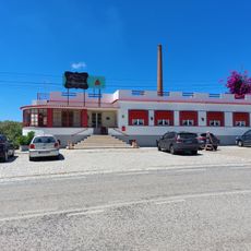
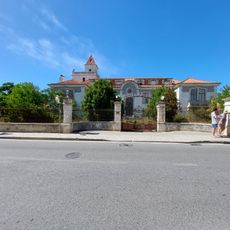
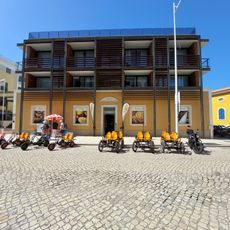
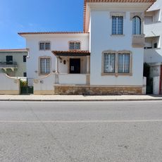
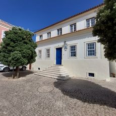
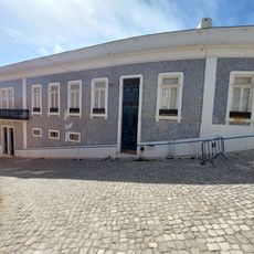
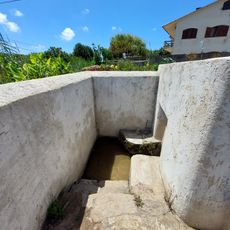
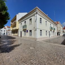
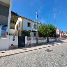
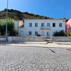
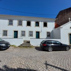
São Martinho do Porto is a coastal settlement featuring a semicircular bay with gentle waters and white sand beaches along the Portuguese coast. The area splits between a lower section focused on tourism activities and an upper residential part with traditional houses.

The settlement was founded in 1257 through documentation by Friar Estêvão Martins, the 12th abbot of Alcobaça Monastery. It served as a county seat until 1855, when administrative changes shifted its role in the region.

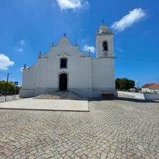
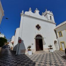
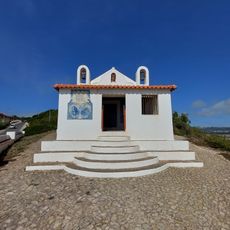
The Mother Church displays interior artworks that reflect how the local community has expressed its religious beliefs and values over centuries. These pieces show the spiritual life that has shaped daily practices in the settlement.

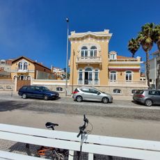
The lower section near the beach has well-developed tourist facilities and activities, while the upper area remains quieter and more residential. Visitors often explore both parts to experience the full character of the place.

The settlement uses multiple postal codes across its neighborhoods, reflecting how administrative organization has kept pace with its growth. This postal division shows how even small coastal communities maintain detailed organizational structures for local services.

The community of curious travelers

AroundUs brings together thousands of curated places, local tips, and hidden gems, enriched daily by 60,000 contributors worldwide.

Start exploring
Location
Shares border with
Famalicão
Address
São Martinho do Porto, 2460 São Martinho do Porto, Portugal
GPS coordinates
39.51306,-9.13556
Latest update
December 7, 2025 19:23
Around this place
Castelo de Alfeizerão
Portugal

Castelo de Alfeizerão

2.6 km
Igreja Paroquial de Alfeizerão
Portugal

Igreja Paroquial de Alfeizerão

2.8 km
Pelourinho de Alfeizerão
Portugal

Pelourinho de Alfeizerão

2.8 km
Edifício dos Correios, Telégrafos e Telefones, CTT, de Alfeizerão
Portugal

Edifício dos Correios, Telégrafos e Telefones, CTT, de Alfeizerão

3.3 km
Igreja Paroquial de São Martinho do Porto
Portugal

Igreja Paroquial de São Martinho do Porto

273 m
Casa do Pão de Ló de Alfeizerão
Portugal

Casa do Pão de Ló de Alfeizerão

3.9 km
Hotel Parque
Portugal

Hotel Parque

239 m
Edifício dos Correios, Telégrafos e Telefones, CTT, de São Martinho do Porto
Portugal

Edifício dos Correios, Telégrafos e Telefones, CTT, de São Martinho do Porto

212 m
Colónia de Férias de São Martinho do Porto
Portugal

Colónia de Férias de São Martinho do Porto

428 m
Moinho em Alfeizerão
Portugal

Moinho em Alfeizerão

2.7 km
Capela de Santo Amaro
Portugal

Capela de Santo Amaro

3.1 km
Edifício em São Martinho do Porto
Portugal

Edifício em São Martinho do Porto

94 m
Coreto de Alfeizerão
Portugal

Coreto de Alfeizerão

3.1 km
Cruzeiro dos Centenários de São Martinho do Porto
Portugal

Cruzeiro dos Centenários de São Martinho do Porto

338 m
Casa na Rua Engenheiro Luís Francisco Cavaleiro
Portugal

Casa na Rua Engenheiro Luís Francisco Cavaleiro

168 m
Casa na Rua General Carmona
Portugal

Casa na Rua General Carmona

239 m
Casa no Largo Comendador José Bento da Silva
Portugal

Casa no Largo Comendador José Bento da Silva

76 m
Casa na Rua de Santo António, n.º 1
Portugal

Casa na Rua de Santo António, n.º 1

102 m
Casa no Largo Vitorino Frois, n.º 7 a 11
Portugal

Casa no Largo Vitorino Frois, n.º 7 a 11

65 m
Fonte Velha
Portugal

Fonte Velha

3.1 km
Edifício da Delegação Marítima de São Martinho do Porto
Portugal

Edifício da Delegação Marítima de São Martinho do Porto

47 m
Casa na Rua Cândido dos Reis, n.º 24
Portugal

Casa na Rua Cândido dos Reis, n.º 24

232 m
Escola Primária de São Martinho do Porto
Portugal

Escola Primária de São Martinho do Porto

358 m
Posto da Guarda Fiscal, GF, de São Martinho do Porto
Portugal

Posto da Guarda Fiscal, GF, de São Martinho do Porto

266 m
Solar da Família Queiroz e Mello
Portugal

Solar da Família Queiroz e Mello

157 m
Celeiro em Alfeizerão
Portugal

Celeiro em Alfeizerão

2.8 km
Casa na Rua Cândido dos Reis, n.º 5 a 7
Portugal

Casa na Rua Cândido dos Reis, n.º 5 a 7

198 m
Capela de Santo António (São Martinho do Porto, Alcobaça)
Portugal

Capela de Santo António (São Martinho do Porto, Alcobaça)

368 m
Show the full map
« São Martinho do Porto - Coastal administrative division in Leiria District, Portugal » is provided by Around Us (aroundus.com). Images and texts are derived from Wikimedia project under a Creative Commons license. You are allowed to copy, distribute, and modify copies of this page, under the conditions set by the license, as long as this note is clearly visible.

Discover hidden gems everywhere you go!

From secret cafés to breathtaking viewpoints, skip the crowded tourist spots and find places that match your style. Our app makes it easy with voice search, smart filtering, route optimization, and insider tips from travelers worldwide. Download now for the complete mobile experience.

Around Us App Screenshot

A unique approach to discovering new places

Le Figaro

All the places worth exploring

France Info

A tailor-made excursion in just a few clicks

20 Minutes

Around Us
Travel Guide & Maps
Download

Send to your phone

QR Code
1

Open the camera app on your mobile.

2

Point at the QR code with your camera. A notification will appear.

3

Tap the notification to open the link.