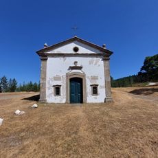
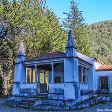
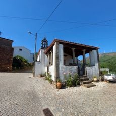
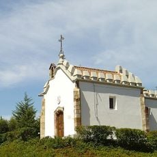
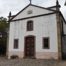
Aldeia de Cerdeira, village in Lousã, Portugal
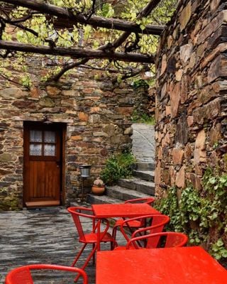
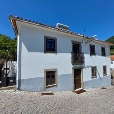
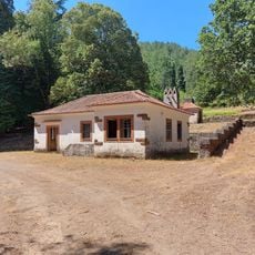
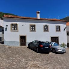
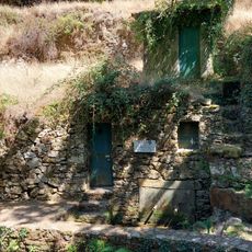
Aldeia de Cerdeira is a village in the Serra da Lousã mountains built with dark stone houses arranged along a steep hillside. A winding staircase of stone connects the structures, while a small stream flows through and old water mills mark the settlement's natural layout.
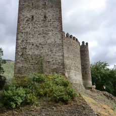
Settlement began in the late 1600s or early 1700s as a grazing community for herders and farmers. The 20th century brought major change: a dispute over water in the 1970s resulted in a tragic incident that marked the end of traditional life, later immortalized in the film 'O fim do mundo'.
The village's name likely comes from cherry trees that once grew here abundantly. Local traditions include folk songs recorded in the early 1970s, performed during festivals and gatherings as part of the community's shared memory.
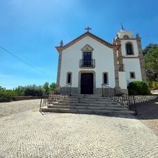
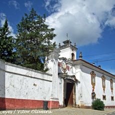
The village is best reached by car from Lousã, about 9 kilometers away, with parking available near the chapel. The narrow streets are easily explored on foot, and a small café on site offers internet access if you need to stay connected.
The village intentionally remains without electrical connections and has almost no internet access, encouraging visitors to disconnect from daily digital life. This absence of modern conveniences makes it a rare retreat where genuine connections and mindful moments take priority.
Location: Lousã e Vilarinho
Part of: Aldeias do Xisto
Address: Cerdeira, Catarredor, 3200 Lousã, Portugal
Website: https://cm-beja.pt
GPS coordinates: 40.09372,-8.19482
Latest update: January 20, 2026 14:52
Castelo da Lousã
3.5 km
Palácio dos Salazares
5.7 km
Church of Santa Maria Maior (Góis)
9.8 km
Capela de Santo António da Neve
3.3 km
Santuário de Nossa Senhora da Piedade das Tábuas
9.5 km
Edifício e Igreja da Santa Casa da Misericórdia de Castanheira de Pêra
9.7 km
Igreja Paroquial de Coentral
3.5 km
Casa na Praça Visconde de Castanheira
9.8 km
Poços da Neve e Capela de Santo António da Neve
3.3 km
Escola Primária de Pêra
6.3 km
Igreja Paroquial de Pêra
6.3 km
Ponte sobre o Rio Ceira e capela hexagonal a sul
9.8 km
Ponte sobre o Rio Ceira
9.8 km
Câmara Municipal da Lousã
4.8 km
Igreja Paroquial de Serpins
7 km
Capela da Misericórdia da Lousã
4.7 km
Casa do Bispo do Funchal
3.5 km
Casa Bissaya Barreto
9.8 km
Igreja Paroquial de Castanheira de Pêra
9.9 km
Capela de São Sebastião
6.5 km
Capela do Castelo
9.7 km
Capela de São Sebastião
9.8 km
Capela de Nossa Senhora da Candosa
9.3 km
Casa Paroquial de Coentral
3.5 km
Casa Florestal do Soares
4.4 km
Casa do Neveiro - Mor
3.5 km
Casa da Foz de Arouce
9.9 km
Fonte das Bicas
3.5 kmVisited this place? Tap the stars to rate it and share your experience / photos with the community! Try now! You can cancel it anytime.
Discover hidden gems everywhere you go!
From secret cafés to breathtaking viewpoints, skip the crowded tourist spots and find places that match your style. Our app makes it easy with voice search, smart filtering, route optimization, and insider tips from travelers worldwide. Download now for the complete mobile experience.
A unique approach to discovering new places❞
— Le Figaro
All the places worth exploring❞
— France Info
A tailor-made excursion in just a few clicks❞
— 20 Minutes