
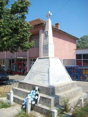
Teregova, village in Caraș-Severin County, Romania
Location: Teregova
Elevation above the sea: 424 m
GPS coordinates: 45.14806,22.28194
Latest update: March 30, 2025 21:27
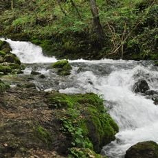
Izvorul Bigăr
30 km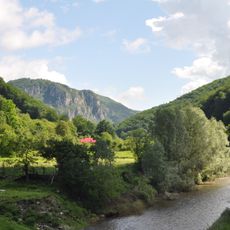
Domogled-Valea Cernei National Park
27.6 km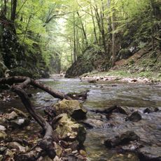
Semenic-Cheile Carașului National Park
24 km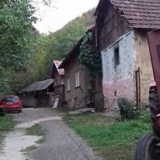
Water mills at Rudăria
34.1 km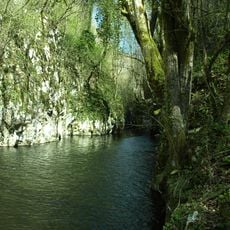
Cheile Carașului
31.1 km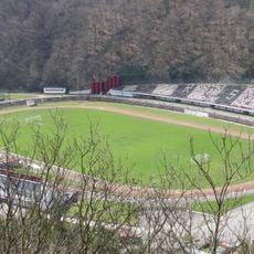
Stadionul Mircea Chivu
34.2 km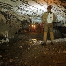
Comarnic cave
24.2 km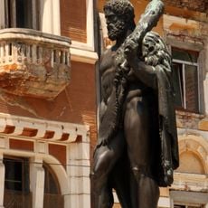
Statue of Hercules in Băile Herculane
30.8 km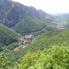
Rezervația Domogled
31.6 km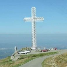
Monumentul Eroilor Bănățeni de pe Muntele Mic
28.2 km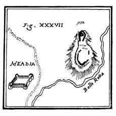
Castrum Praetorium
25.7 km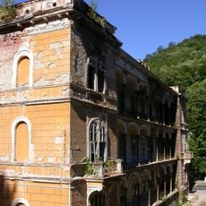
Decebal hotel in Băile Herculane
31 km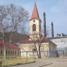
Saint Mary of the Snows Church, Reșița
34 km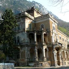
Traian hotel in Băile Herculane
31.1 km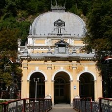
Neptun bathhouse in Băile Herculane
31 km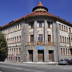
Traian Doda High School in Caransebeș
29.7 km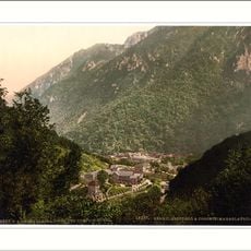
Coronini - Bedina
25.6 km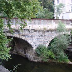
Stone bridge over Cerna River in Băile Herculane
30.9 km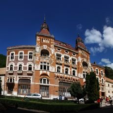
Hercules square in Băile Herculane
30.8 km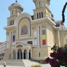
Orthodox cathedral in Caransebeș
29.8 km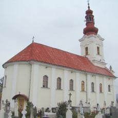
St. John the Baptist Church, Caransebeș
29.4 km
Belareca
18.8 km
Cast iron bridge over Cerna River
31 km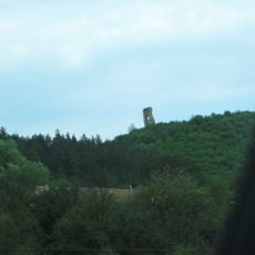
Medieval fortress of Mehadia
25.7 km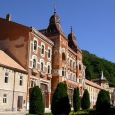
The great dining house in Băile Herculane
30.8 km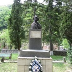
Bustul lui Mihai Eminescu din Băile Herculane
30.9 km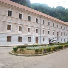
Pavilionul 5 din Băile Herculane
30.7 km
Pădurea Drăghiceanu
32.8 kmReviews
Visited this place? Tap the stars to rate it and share your experience / photos with the community! Try now! You can cancel it anytime.
Discover hidden gems everywhere you go!
From secret cafés to breathtaking viewpoints, skip the crowded tourist spots and find places that match your style. Our app makes it easy with voice search, smart filtering, route optimization, and insider tips from travelers worldwide. Download now for the complete mobile experience.

A unique approach to discovering new places❞
— Le Figaro
All the places worth exploring❞
— France Info
A tailor-made excursion in just a few clicks❞
— 20 Minutes