
Șiria, village in Arad County, Romania
Location: Șiria
Elevation above the sea: 109 m
GPS coordinates: 46.25000,21.61667
Latest update: March 21, 2025 19:01
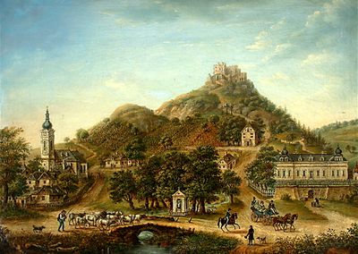
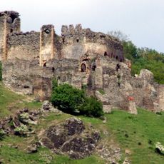
Șoimoș Citadel
17.9 km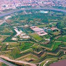
Fortress of Arad
23.6 km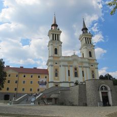
Maria Radna
17.6 km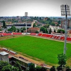
Stadionul Francisc von Neumann
24.4 km
Arad Administrative Palace
24.4 km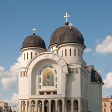
Holy Trinity Cathedral
23.7 km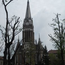
Lutheran church in Arad
24.2 km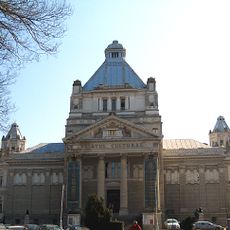
Palace of Culture
24.4 km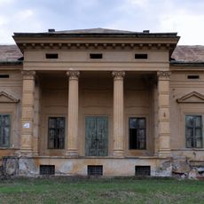
Konopi Castle
21.9 km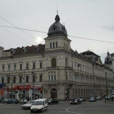
Neumann Palace
24.5 km
Palatul Cenad
24.4 km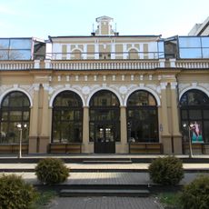
Arad Casino
24.4 km
Old theatre of Arad
24.4 km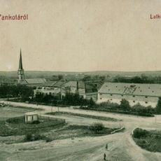
Schulkovschy Palace
9.9 km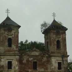
Ferences templom
23.6 km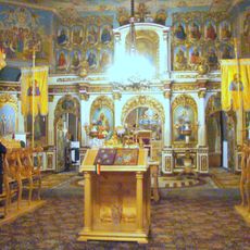
Church of the Annunciation in Lipova
17.8 km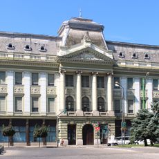
National Bank Palace in Arad
24.4 km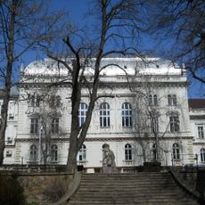
Justice Palace in Arad
24.1 km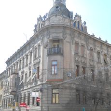
Kovács-palota
24.1 km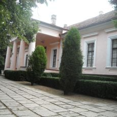
Ioan Slavici és Emil Monția Emlékmúzeum
2.4 km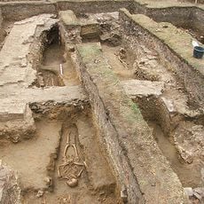
Mănăstirea Bizere
18.7 km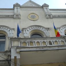
Andrényi-palota
24.3 km
Hotel Ardealul
7.9 km
Treasury Palace in Arad
24.4 km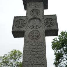
Rafiroiu-kereszt
24.3 km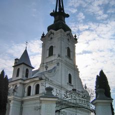
Church of the Dormition of Virgin Mary in Lipova
18.6 km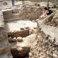
Cetatea Tauț
21.8 km
Lippai Városi Múzeum
18.6 kmVisited this place? Tap the stars to rate it and share your experience / photos with the community! Try now! You can cancel it anytime.
Discover hidden gems everywhere you go!
From secret cafés to breathtaking viewpoints, skip the crowded tourist spots and find places that match your style. Our app makes it easy with voice search, smart filtering, route optimization, and insider tips from travelers worldwide. Download now for the complete mobile experience.

A unique approach to discovering new places❞
— Le Figaro
All the places worth exploring❞
— France Info
A tailor-made excursion in just a few clicks❞
— 20 Minutes